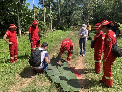
By Anne Sorensen | Director of Philanthropy
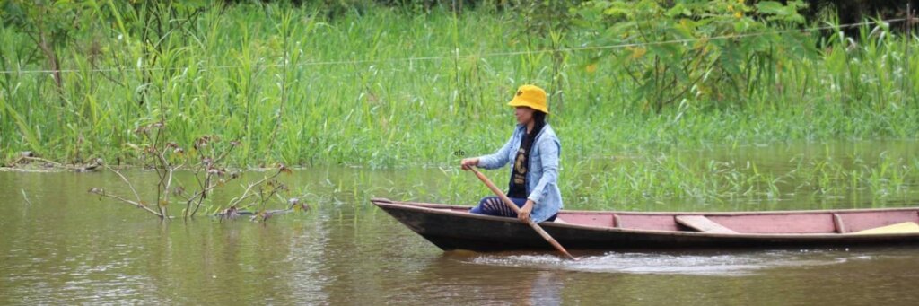
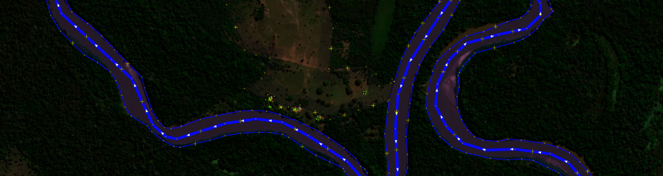
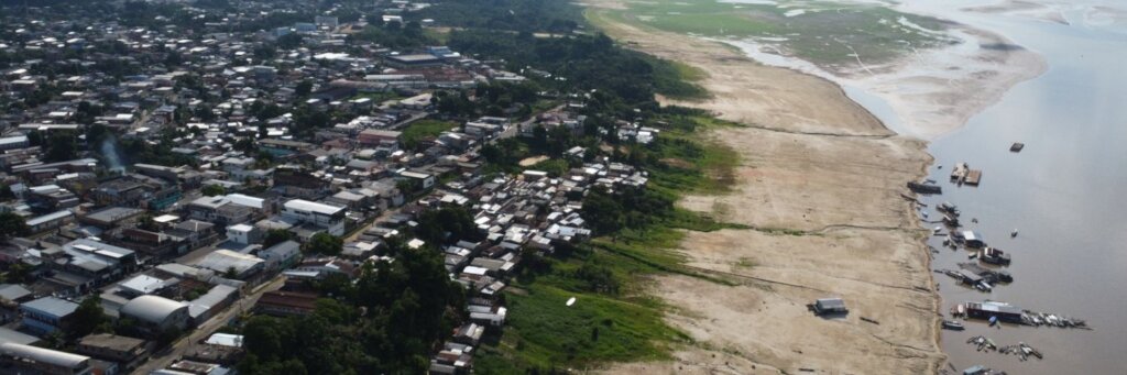
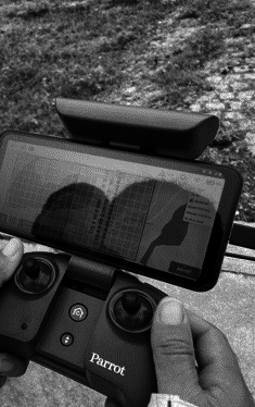
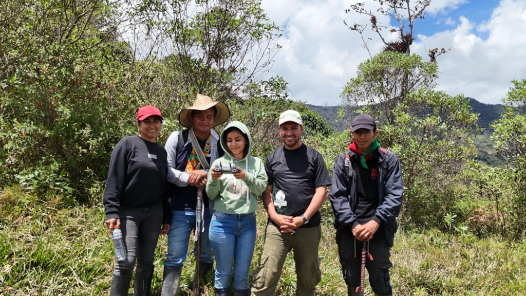
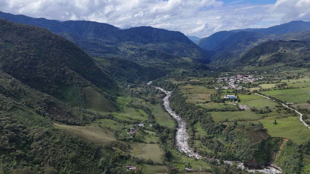
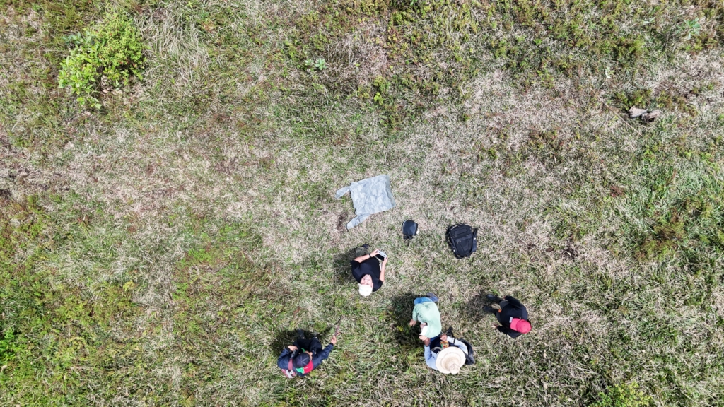
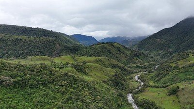
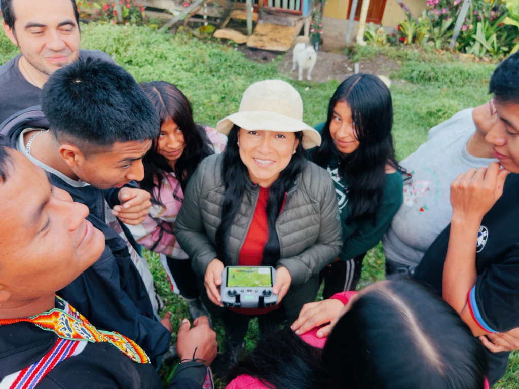
With training from HOT and UNAULA, the Wairari Atun Sacha Indigenous Community located in the Colombian Amazon has strengthened its technical mapping capacities and created a land titling application. This process of geographic data monitoring and management enabled the creation of detailed documentation of territorial governance as well as the issuance of a foundational resolution that identifies areas for biodiversity conservation aligned with the community’s “life projects”.
The Wairari Atun Sacha Indigenous Community has established the necessary legal foundations for the restitution and protection of their ancestral territory. The project is currently in a critical advocacy phase before the National Land Agency (ANT) to obtain official ratification of the agreement. This joint effort ensures that Indigenous territorial autonomy is supported by solid technical evidence in engagements with national institutions in Colombia.
Links:
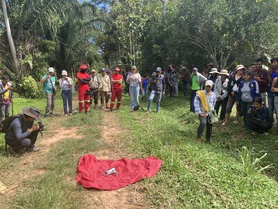
By Anne Sorensen | Director of Philanthropy
By Anne Sorensen | Director of Philanthropy
Project reports on GlobalGiving are posted directly to globalgiving.org by Project Leaders as they are completed, generally every 3-4 months. To protect the integrity of these documents, GlobalGiving does not alter them; therefore you may find some language or formatting issues.
If you donate to this project or have donated to this project, you can receive an email when this project posts a report. You can also subscribe for reports without donating.