By Anne Sorensen | Director of Philanthropy
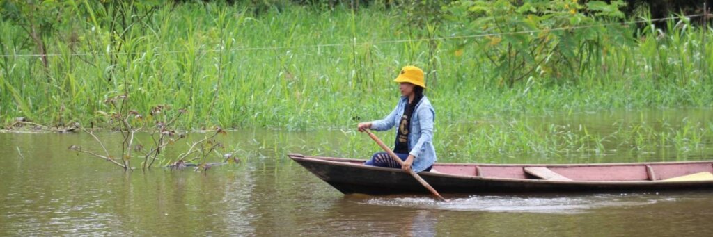
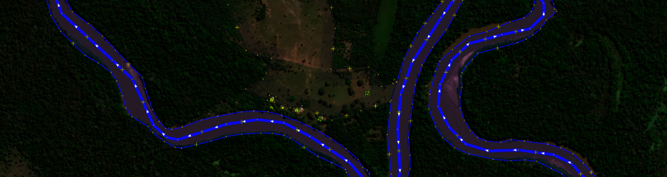
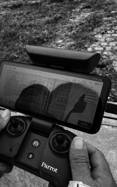
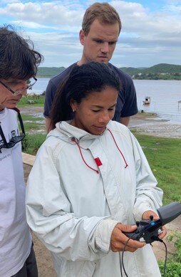
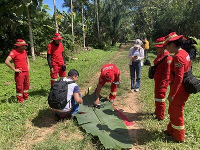
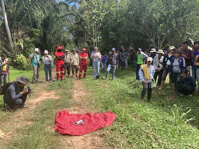
HOT continues to engage with local communities and academic partners in Bolivia, Colombia and Guatemala to strengthen mapping capacity to improve tropical forest conservation and promote climate change adaptation. In Colombia (Santa Rosa, Bota Caucana), Bolivia (Palos Blancos and Ixiamas), and Guatemala (San José Poaquil), community members conducted participatory mapping to identify threats such as deforestation, mining, illicit crops, and climate impacts. Community members participated in training on the use of open technologies such as OpenStreetmap and low-cost drones to capture local imagery. (It is expensive to obtain recent satellite imagery and lower cost options are often 5-10 years out of date.)
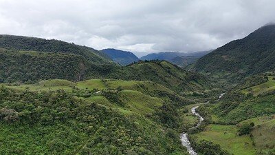
In Bolivia, HOT is working with the community of Sapecho, located within the territory of the Great Nation Tacana. This region is known for its natural diversity, including tropical forests and mountain ranges, and cultural richness shaped by Indigenous and intercultural communities. HOT staff trained a group of students, firefighters, park rangers, and indigenous community members to use drones and other mapping tools to map and monitor land areas for forest fires and other hazards. Bringing this diverse group together will also improve coordinated territorial management.
In Colombia, HOT is working in the Wairari Atún Sacha Cabildo in the municipality of Santa Rosa with the Inga people. The area has significant ecological and cultural diversity, hosting Andean mountain ecosystems, humid forests, and key watershed areas for community life. We conducted training workshops so that community members could learn how to collect, visualize, and analyze data using a number of open source tools, including low cost drones and the messaging-based app ChatMap which enables the creation of maps through instant messaging apps like WhatsApp, Telegram, or Signal.
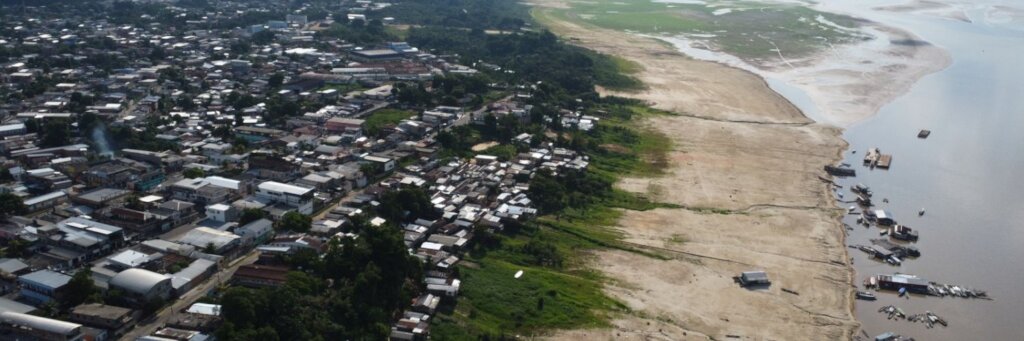
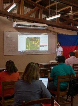
Colombia’s National Unit for Disaster Risk Management (UNGRD), HOT, and the Agustín Codazzi Geographic Institute (IGAC) partnered with a number of youth collectives including SAGEMA and TadeoMappers, the National Youth Environmental Network, and the Youth Network for Disaster Risk Reduction to organize the 2025 National Mapathon of Colombia that took place May 5-June 27, 2025. During the mapathon, more than 250 participants mapped 63,000 buildings and completed 13 mapping projects requested by UNGRD.
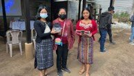
In Guatemala, HOT continued our engagement with the San José Poaquil community. It has gone from being a blank spot on OpenStreetMap to a fully mapped territory, including roads, buildings, and communal lands. The data helped create a forest management plan and opened new paths for land use planning, community governance, and public funding access. One youth participant, Carlos Ovalle, noted that, “These communal lands give us maize, coffee, firewood. They’re part of our history. Being part of this effort is a responsibility and a way to care for what’s ours.”
Links:
Project reports on GlobalGiving are posted directly to globalgiving.org by Project Leaders as they are completed, generally every 3-4 months. To protect the integrity of these documents, GlobalGiving does not alter them; therefore you may find some language or formatting issues.
If you donate to this project or have donated to this project, you can receive an email when this project posts a report. You can also subscribe for reports without donating.