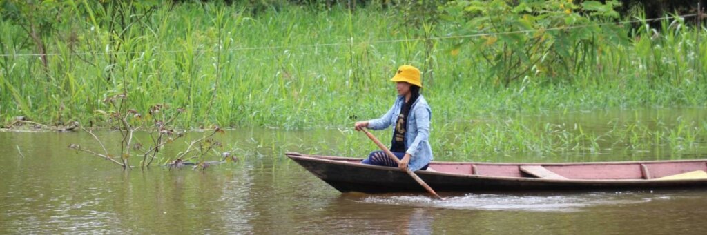
HOT will collaborate with Amazon communities to create free and open-source maps of their region using local knowledge and experience. This will provide information and access to essential local services like access to humanitarian aid, climate and disaster resilience, healthcare, education, and other basic needs and services. The Amazon Basin is home to 40 million people, many not yet on the map. A map is more than lines or buildings - it's a lifeline in times of need.
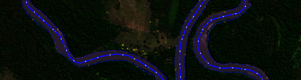
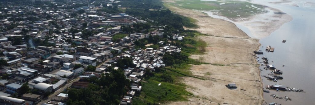
In the Amazon, vast areas remain unmapped, leaving many communities invisible to aid, prone to natural disasters, and at risk from deforestation and exploitation. The Amazon is a bastion of irreplaceable biodiversity, invaluable resources and crucial regulator of Earth's climate. The Amazon is essential for global climate, an economic driver for the region. With much of the area being unmapped, local communities are unaware of the opportunities around them or dire threats they might be facing.
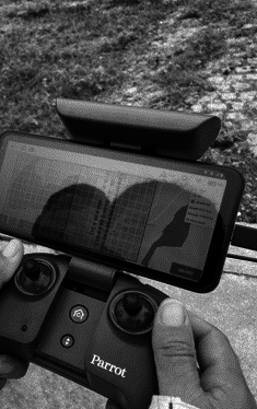
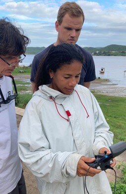
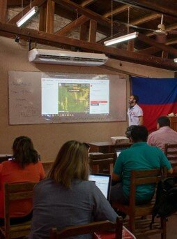
HOT's mapping initiative will work with local communities to update or create maps using open-source tech and data through cell phones, GPS, aerial imagery and drones. Maps will be available and useful to all as crucial details on land, resources, and settlements will be added. This aids in disaster readiness, sustainable land management, and protection of indigenous knowledge. It provides much-needed data enabling advocacy and sustainability to safeguard their future, benefiting thousands.
Mapping the Amazon enables sustainable management of its resources, impacting many communities. Long-term, it ensures these areas are protected from exploitation, enhances disaster resilience, and incorporates indigenous insights into land stewardship, benefiting future generations. We're not just mapping land; we're charting a course for resilience, education, and conservation together. Join us in making every voluntary community of the Amazon known and cared for, one map at a time.
This project has provided additional documentation in a PDF file (projdoc.pdf).