By Anne Sorensen | Director of Philanthropy
Mapping biodiversity in the Amazonia
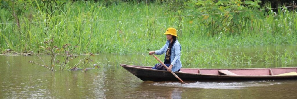
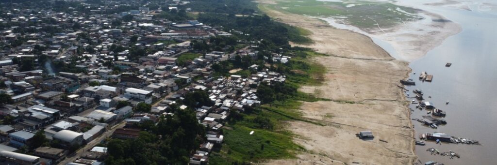
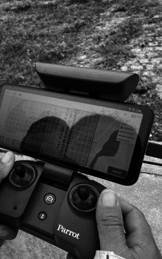
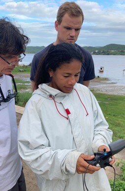
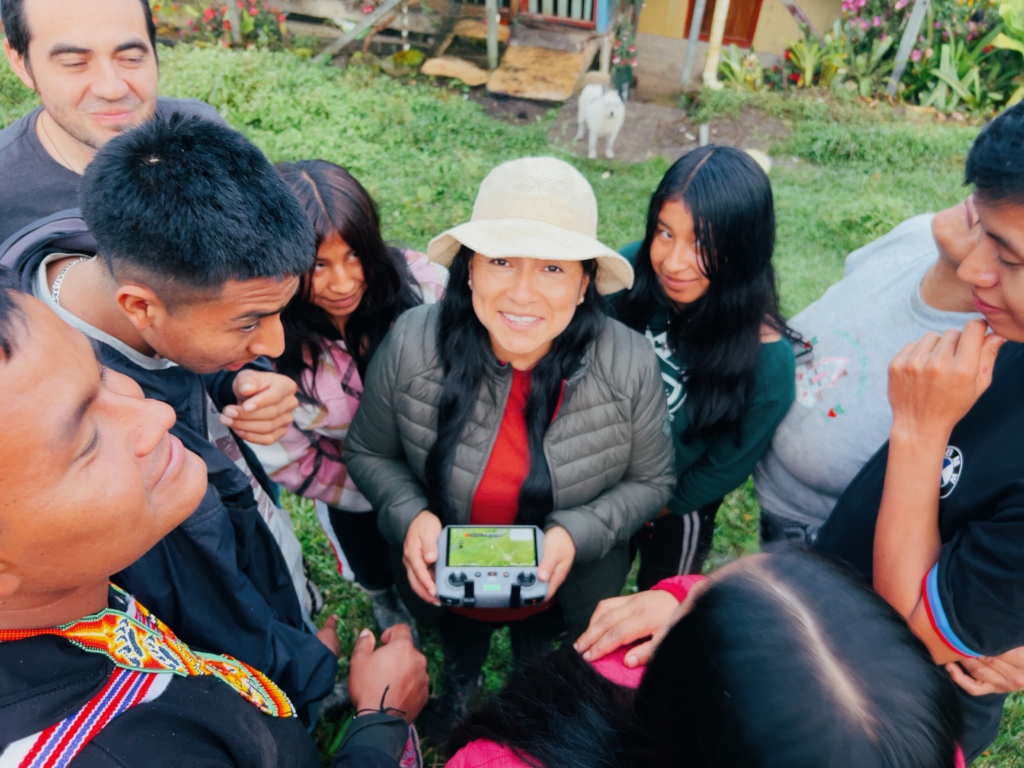
Over the last three months, HOT led three pilot projects to capture drone imagery to support mapping of local biodiversity in three locations: La Paz-Baja California Sur (MX), Santo Domingo (DO), Bogotá (CO). In Colombia, community members captured drone imagery and created maps to monitor forest and fire risk. In Mexico, we worked with community members to collect information on mangroves and forests. Finally, in the Dominican Republic, community members and representatives from the National Statistics Office learned how to use participatory mapping to collect information about sargassum. Training focused on the use of drones and open technologies to generate geospatial data. Participants included representatives from civil society, academia, and public institutions.
Mapping forests and other natural resources
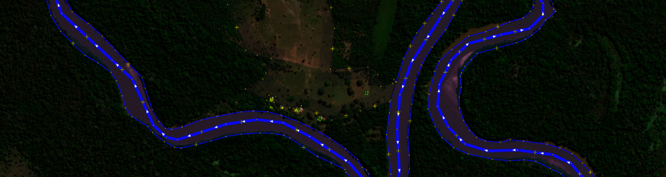
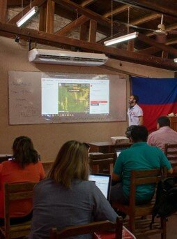
In May, HOT launched Amazonia mapping campaigns in Peru (Chachapoyas and Rioja) and Colombia (Villagarzón). Our partners include UNAULA (Colombia), Universidad Mayor de San Andrés (Bolivia), and Universidad Rafael Landívar (Guatemala).
Through this project, we will strengthen the capacity of indigenous communities to use participatory mapping to improve tropical forest ecosystems and climate change adaptation. HOT will train partners to use open source technologies to create maps that identify critical conservation areas, socio-environmental conflicts (such as deforestation, mining, illicit crops, and climate change), and community-led protection actions. We will also launch a communications campaign to influence public policy and attitudes toward resource conservation.
During May, the first field visits were made to conduct training on open mapping and to learn more about the areas to be mapped. So far, 116 volunteers have mapped 4,662 buildings and 51 Km of roads.
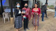
"For us as part of the Cofradía, mapping is a very important issue because it helps make us known and gives greater visibility to the different points of interest in the community, such as the centers for Mayan ceremonies and also the sources of potable water." Carlos Ovalle, Co-researcher and member of the Ancestral Cofradía of San José Poaquil, Guatemala.
Links:
Project reports on GlobalGiving are posted directly to globalgiving.org by Project Leaders as they are completed, generally every 3-4 months. To protect the integrity of these documents, GlobalGiving does not alter them; therefore you may find some language or formatting issues.
If you donate to this project or have donated to this project, you can receive an email when this project posts a report. You can also subscribe for reports without donating.