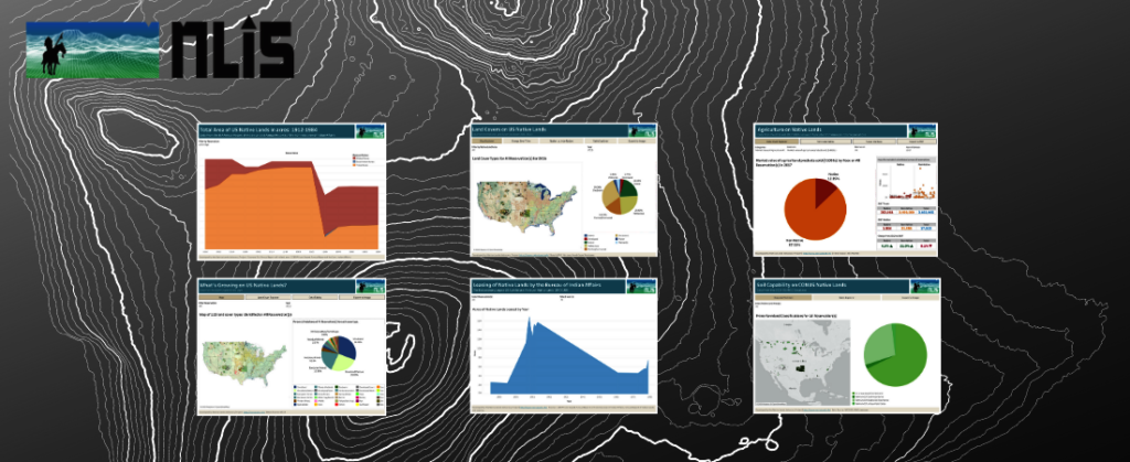
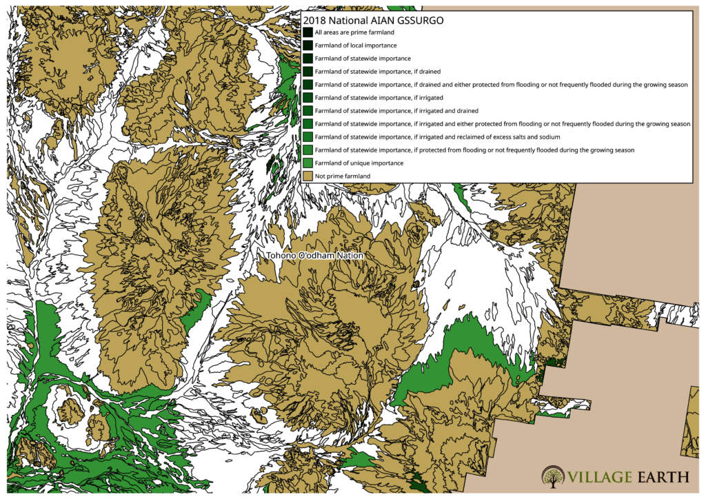
![Example of the SSURGO data mapped by Village Earth]()
Example of the SSURGO data mapped by Village Earth
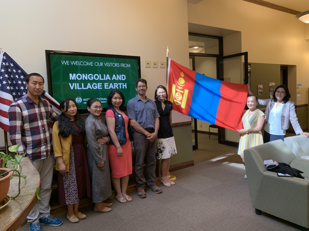
Dear Friends of Village Earth,
It has been an exciting and busy few months for Village Earth and we finally saw the fruits from our Census Challenge Project with the Red Lake Reservation in Minnesota. Village Earth is pleased to announce that the U.S. Department of Housing and Urban Development has accepted our challenge of the Federal Census data used to calculate the Indian Housing Block Grant (IHBG) for the Red Lake Band of Chippewa on the Red Lake Reservation in northern Minnesota. The decision will amount to a $1,074,880 increase in their allocation for 2018 and $743,417 to their 2019 allocation (retroactively applied). The challenge was organized by the Red Lake Economic Development & Planning Department with support from Village Earth. Our data will continue to be used by HUD to calculate Red Lake Band’s housing block grants until 2022 amounting to millions more in funding for housing. The IHBG is used by Tribally Designated Housing Authorities (TDHE’s) for housing development, assistance to housing developed under the Indian Housing Program, housing services to eligible families and individuals, crime prevention and safety, and model activities that provide creative approaches to solving affordable housing problems. Additionally, our data will impact funding from the Department of Transportation which calculates part of their formula funding for road construction and maintenance from the IHBG data.
The Red Lake Band of Chippewa, located on the Red Lake Reservation in rural northern Minnesota, struggles with one of the most dire housing situations in the United States. With an estimated population of 6,597 there are at least 117 families without homes. Additionally, there are at least 235 households that experience a severe housing cost burden (where over 50% of their income is used for rent/utilities) and at least 140 households that lack adequate kitchen and/or bathroom facilities. The situation at Red Lake is mirrored on Native American Reservations nationwide. According to the National American Indian Housing Council (NAIHC) “overcrowding, substandard housing, and homelessness are far more common in Native American communities.” NAIHC, citing HUD data point out that “5.6 percent of homes on Native American lands lacked complete plumbing and 6.6 percent lacked complete kitchens. These are nearly four times than the national average, which saw rates of 1.3 percent and 1.7 percent, respectively.”
There are numerous challenges to the development of housing on American Indian Reservations but historically, one of the biggest challenges has been the disproportional levels of poverty and the fact that most Reservation lands are not owned outright by Tribes and Individual Native Americans but instead, most Indian lands are held in trust for Native Americans by the Federal Government. In a practical sense, what that means is that even though Tribes and individual Native Americans may hold title to significant tracts of land, those lands are encumbered by their Trust status with the Federal Government. While this relationship has protected Indian lands from being sold-off to non-tribal members it has also created a significant barrier to access financing for the construction of homes, since lands held in trust cannot be used as a guarantee of repayment by most lenders.
Through treaties, statutes, and historical relations with Indian tribes, the United States has a unique trust responsibility to protect and support Indian tribes and Indian people. The Indian Housing Block Grant, authorized by congress in the 1996 Native American Housing and Self Determination Act (NAHASDA), is one of the ways the United States attempts to fulfill its responsibility. In 2018 congress approved $755 million for the IHBG, while this may seem like a large amount of money, it is a drop-in-bucket of what is actually needed to address the housing crisis on American Indian Reservations where it is estimated by the NAIHC that 68,000 homes are needed to address the shortage. Funding under the IHBG is distributed to tribes based on a formula derived primarily from data collected by the Federal Census Bureau. However, there is a provision in the federal statute that allows tribes to challenge the data used to calculate their allocation.
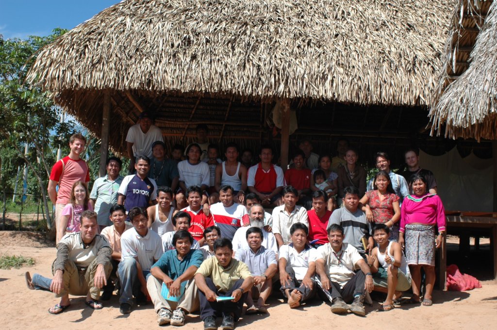
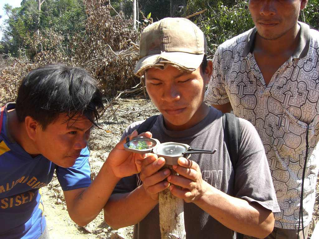
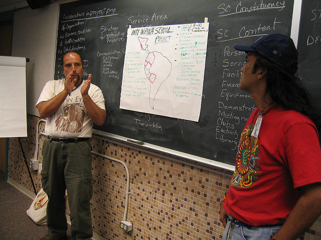
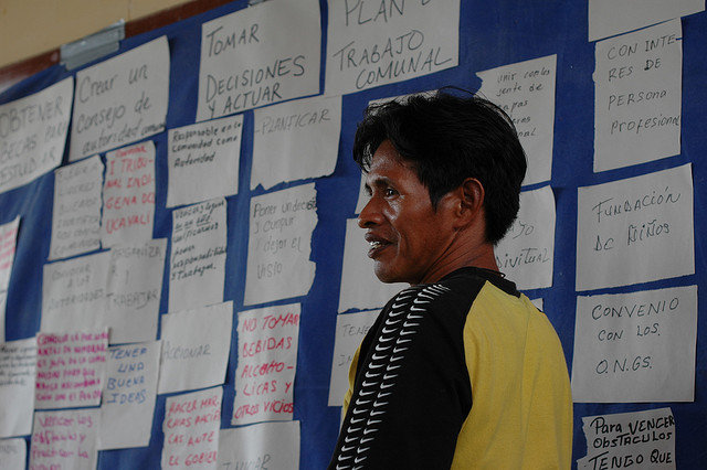
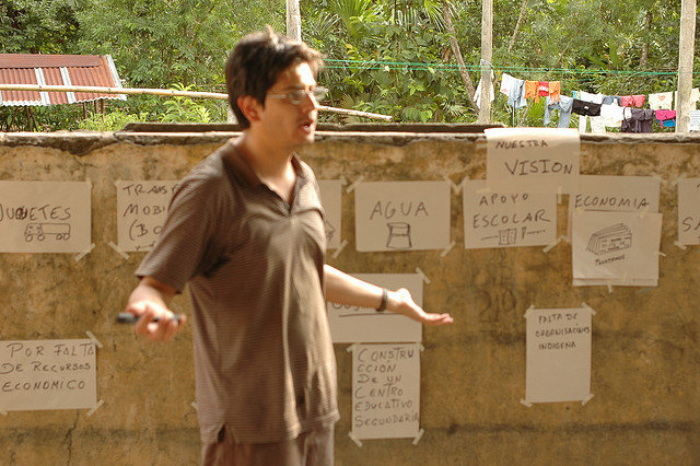
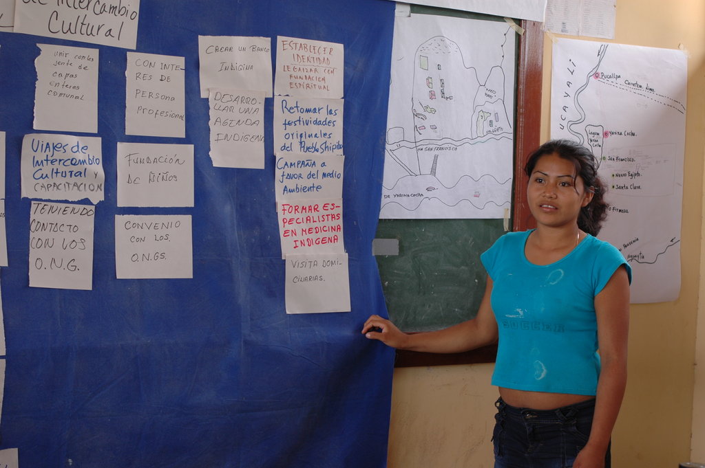
Since 2005 Village Earth has assisted several American Indian Tribes who believe the federal census data does not accurately reflect the reality that exists at their Reservations but needed solid data to test that belief. There is ample evidence for Tribes to be suspicious, especially for tribes in rural parts of the country where the Census Bureau may lack accurate maps of housing and where response rates may be lower than other sociodemographic groups. According a 2018 GAO report “the [Census] Bureau estimated that it missed nearly 5 percent of American Indians living on reservations—the sociodemographic group with the highest percent net undercount in 2010—whereas the Bureau estimated it overcounted almost 1 percent of non-Hispanic whites.” Over the years, Village Earth has innovated a methodology to create more accurate maps of housing in Indian Country but more importantly, we have over 20 years experience conducing surveys and needs assessments in Indian Country and understand the unique challenges and opportunities that exist for collecting complete and accurate data. Paramount to our approach is working closely with local stakeholders and training locals to do the data collection using state-of-the-art methods and tools.
RESEARCH ON AMERICAN INDIAN AGRICULTURE
While we've been waiting to hear back from HUD regarding our Red Lake Data we've been working on a project for the Indian Land Tenure Foundation mapping prime agriculture lands and land covers on 100% of american indian reservations in the United States. The database created for this project and summary data provided in this report represent a valuable resource for Indian nations to better understand and manage their lands in relation to a vast array of topics and issues include but not limited to climate change, conservation, food sovereignty, agricultural development, and historic land claims. Furthermore, this database, because it is drawn from national datasets, makes it possible to compare and contrast results for specific Indian lands and other-sub geographies as well as making it possible to find possible correlations with data from other national datasets including the Agriculture Census for American Indian Reservations, the decennial Census, or ACS data. Additionally, the Cropland Data Layer, since it is derived from satellite data and updated yearly, provides a valuable comparison to the Census of Agriculture for American Indian Reservations which is compiled every four years from self-reported data.
The Tribal Land Cover Database (TLCD) contains data derived from the NRCS national SSURGO dataset and the USDA’s Cropland Data Layer. Both datasets have been filtered to include only data within current American indian areas for the conterminous United States. Boundary data was acquired from the US Census Bureau's Tiger Database (2018) reported by the federally recognized tribal governments through the Census Bureau's Boundary and Annexation Survey (BAS) and includes a total of 624 areas associated with 473 unique American Indian reservations.
Additionally, the ssurgo data has also been filtered to the geographic boundaries of indian land cessions that took place after 1887. This data was obtained from the USDA Forest Service Geospatial Service and Technology Center, USDA Forest Service and was based on maps from "Indian Land Cessions in the United States," compiled by Charles C. Royce and published as the second part of the two-part Eighteenth Annual Report of the Bureau of American Ethnology to the Secretary of the Smithsonian Institution, 1896-1897. The dataset was filtered for just those cessions that occured after 1887, the year of the passing of the General Allotment Act. The data was also clipped to remove areas that overlapped existing American indian areas (described above) making it possible to compare and contrast data for the two areas. Since this data was digitized from printed maps its accuracy or completeness is unknown.
About the NRCS SSURGO Database
According to the NRCS, “The SSURGO database provides the most detailed level of information and was designed primarily for farm and ranch, landowner/user, township, county, or parish natural resource planning and management. Using the soil attributes, this database serves as an excellent source for determining erodible areas and developing erosion control practices; reviewing site development proposals and land use potential; making land use assessments and chemical fate assessments; and identifying potential wetlands and sand and gravel aquifer areas.
The NRCS’s SSURGO data is used in numerous land valuation, carbon and hydrologic assessment models the proprietary AcreValueTM valuation estimation tool, NRCS’s Rapid Carbon Assessment RaCa, the EPA’s Automated Geospatial Watershed Assessment (AGWA), and the Soil and Water Assessment Tool (SWAT), to name a few.
Using NCSS mapping standards, soil maps in the SSURGO data base are made using field methods. Surveyors observe soils along delineation boundaries and determine map unit composition by field traverses and transects. Aerial photographs are interpreted and used as the field map base. Maps are made at scales ranging from 1:12,000 to 1:63,360. Typically scales are 1:15,840, 1:20,000, or 1:24,000. The maps, along with comprehensive descriptions, produce an attribute and spatial data base for NCSS publications.”
The SSURGO data is available as either a raster (at 10m, 30m, and 90m resolutions) or vector layer. The TLCDB utilizes the vector layer to ensure the highest accuracy when performing calculations for specific map units.
To facilitate analysis of the SSURGO data Village Earth utilized the GSSURGO dataset or “Gridded” SSURGO which is a packaged data product developed by NRCS which utilizes the ESRI file geodatabase format. The data is downloadable at the State level and was then reformatted to correspond with the boundary of each Indian area at the State level and merged with adjacent state data when indian land areas overlapped State boundaries to correspond to the boundaries of contemporary indian lands as well as indian lands ceded after 1887.
In total, the TLCD contains 1,302,788 unique soil units from the SSURGO database encompassing an area of 114,175,270 acres. The average size of a soil unit in the TLCD is 87.64 acres with a median size of 17.33 acres.
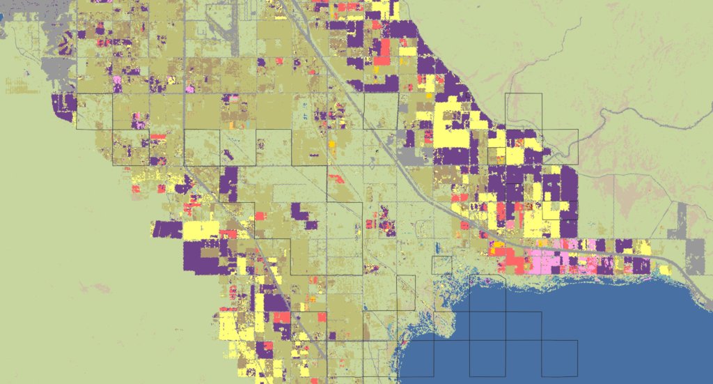
About the USDA Cropland Data LayerAccording to the the USDA Cropland Data Layer is a “raster, geo-referenced, crop-specific land cover data layer created annually for the continental United States using moderate resolution satellite imagery and extensive agricultural ground truth. The purpose of the Cropland Data Layer Program is to use satellite imagery to provide acreage estimates to the Agricultural Statistics Board for major commodities and to produce digital, crop-specific, categorized geo-referenced output products.” The 2017 data includes 130 categories ranging from specific types of crops, pasturelands, developed lands, wetlands, etc. Lark et al. (2017) Citing NRCS (2016) metadata states “the CDL covers the conterminous 48 states with field-level resolution and crop classification accuracies typically upwards of 90% for major commodities like corn, cotton, rice,soybeans, and wheat.”
![Cropland Data Layer mapped by Village Earth]()
Cropland Data Layer mapped by Village Earth
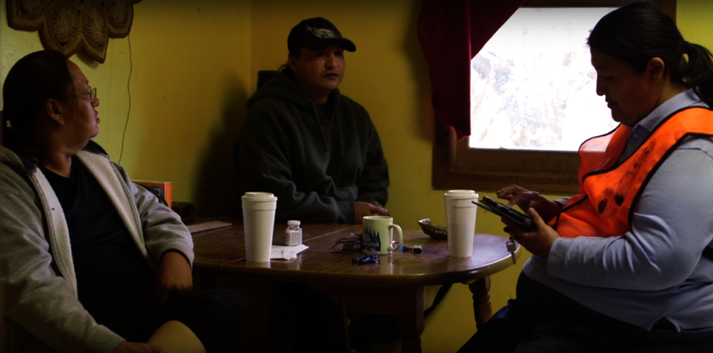
![Red Lake Census Challenge]()
Red Lake Census Challenge
Links:
![Share on Twitter]()
![Share on Facebook]()