

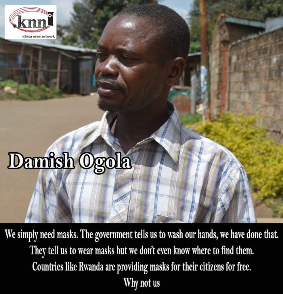
2020 has been a unique year owing to the fact that the whole world was brought to a stand-still by a global pandemic. Kibera and other informal settlements of Nairobi weren’t spared. Most of the Kibera residents work as casual labourers and due to the regulations set up by the government, the majority of the residents lost their jobs while some had to shut down their business. This left most of them having to rely on well wishers for any form of support.
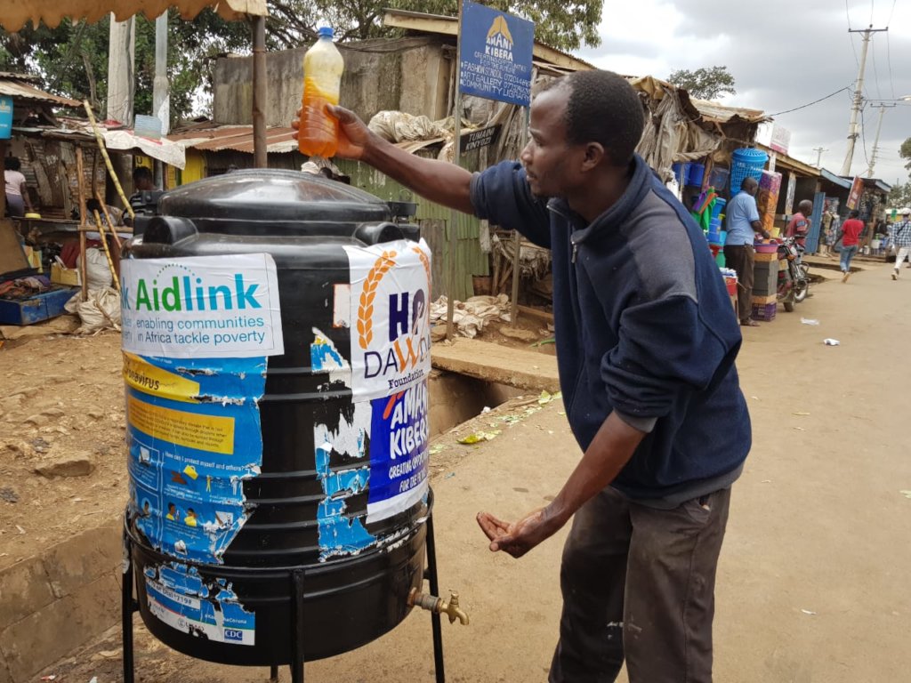
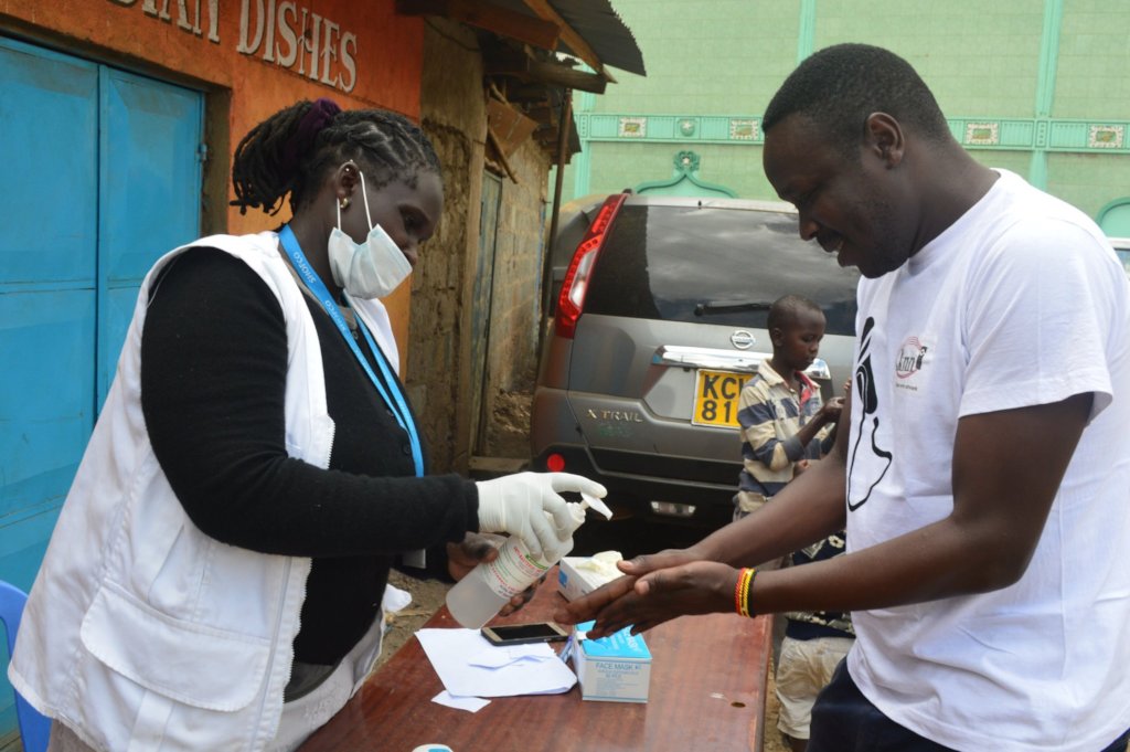
In response to this, many organizations came up with initiatives to support the community; this varied from sensitization activities, food and soap distributions, setting up hand wash points and other relevant resources. Map Kibera, having worked with these organizations in other events and activities, partnered with them to:
- Map out their activities and post them on the Ushahidi-based Kenya Covid-19 tracker; this included training them on how to post their work and offering support in posting them where necessary.
- Directly support the programmes they were implementing on the ground.
A group photo with representatives of different organizations in Mathare.
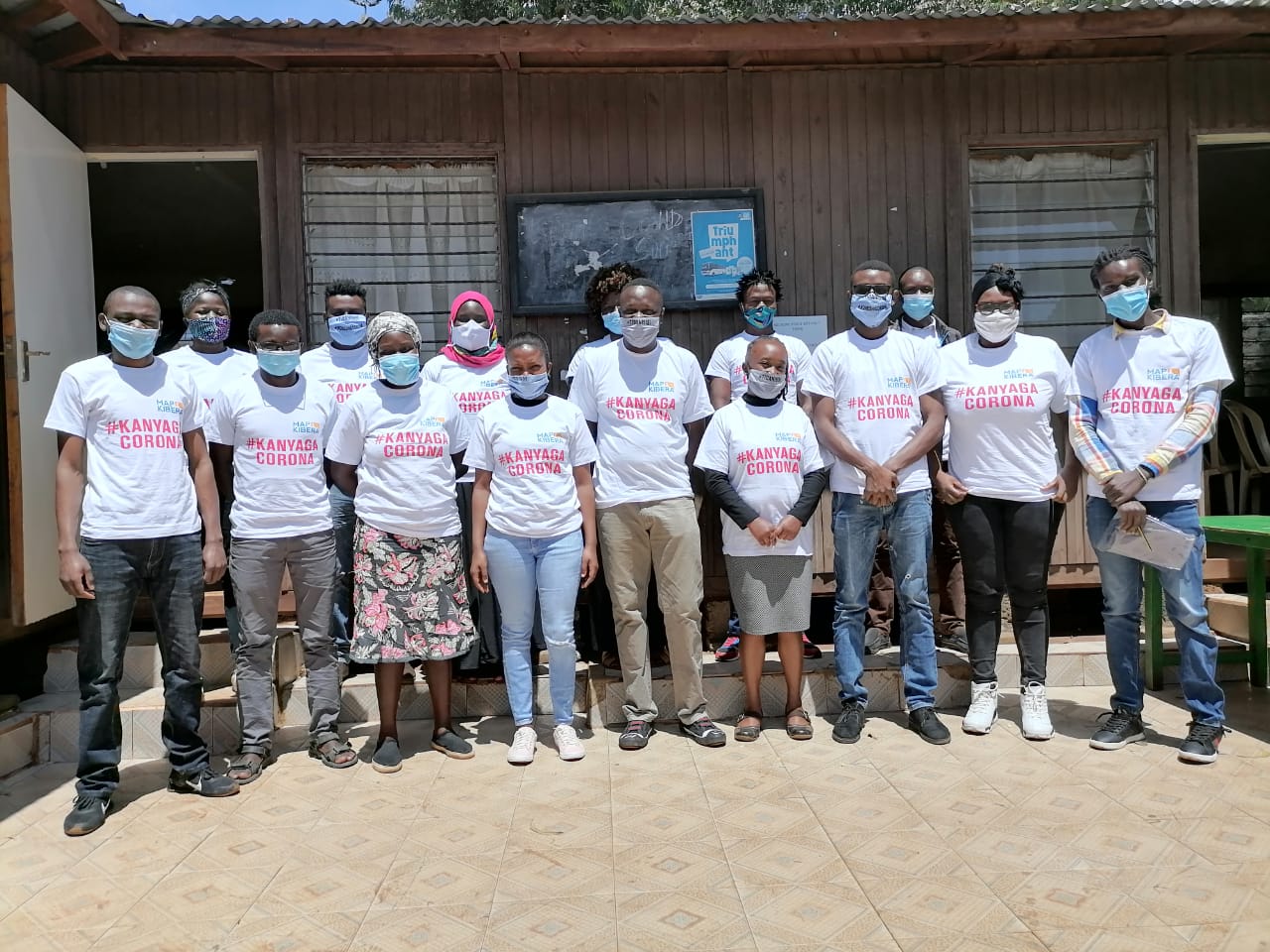
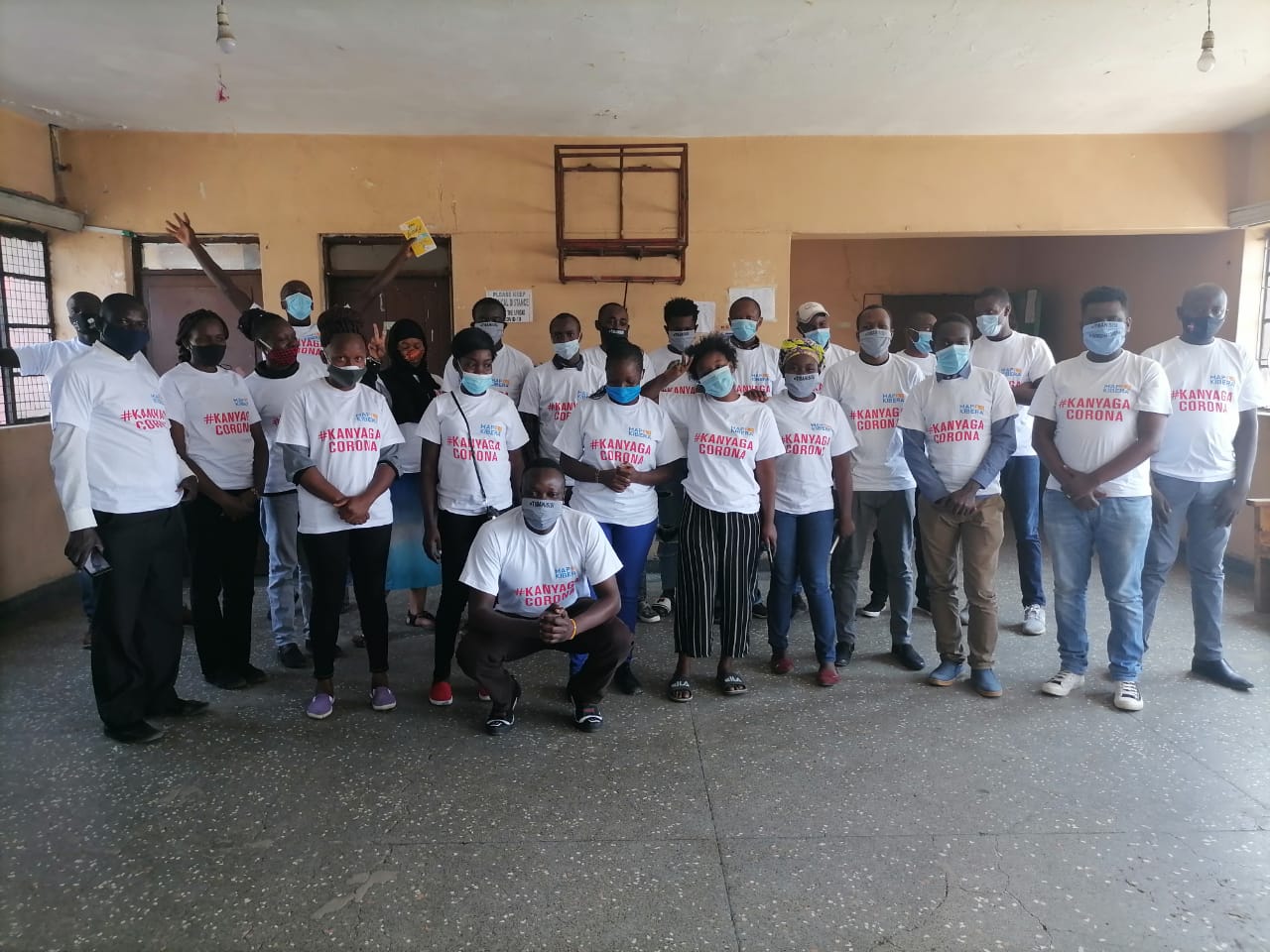
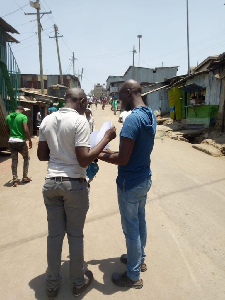
A group photo with representatives of different organizations in Kiber
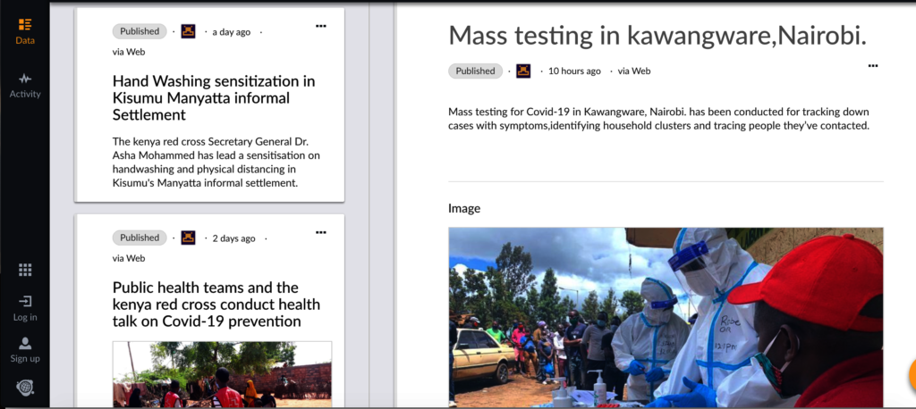
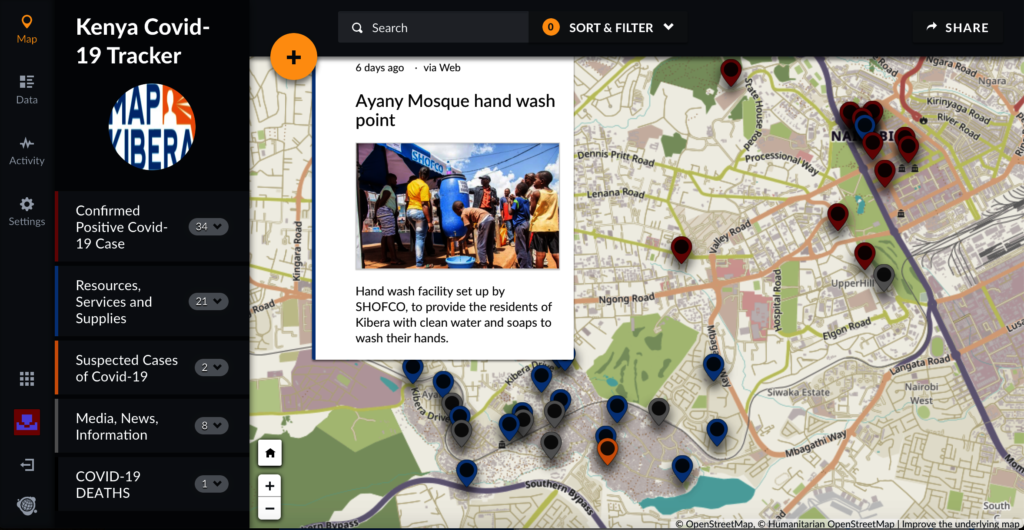
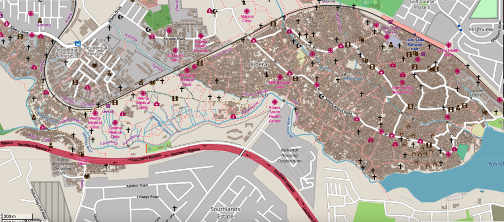
Following a launch helped by our generous GlobalGiving donors, Map Kibera was awarded a 2020 Rapid Rsponse Micro-grant by Humanitarian OpenStreetMap Team (HOT) to support the Ushahidi deployment. The site has allowed us to track Covid-19 cases, resources and news related to Covid-19 —primarily in Kibera, Mathare, and other informal settlements of Nairobi, but also other parts of country. The goal was to keep this information together in one easy place, allowing people to see what is going on around them that might be relevant to them. This was also to aid in our efforts to keep Kibera, one of the most vulnerable communities to illness, healthy during this pandemic.
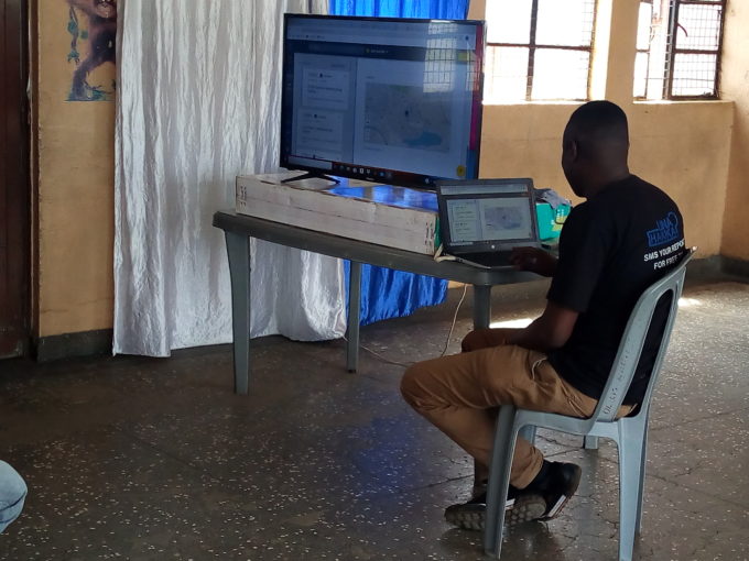
Joshua doing a live demo of how the Kenya Covid Tracker platform works
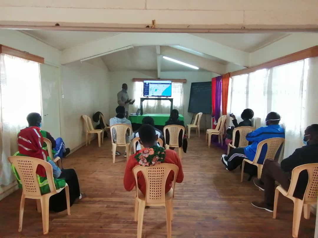
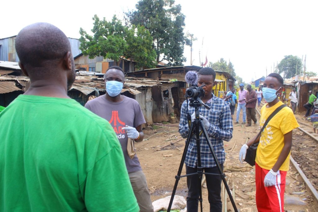
Joshua introducing the project to the team from different organizations in Kibera
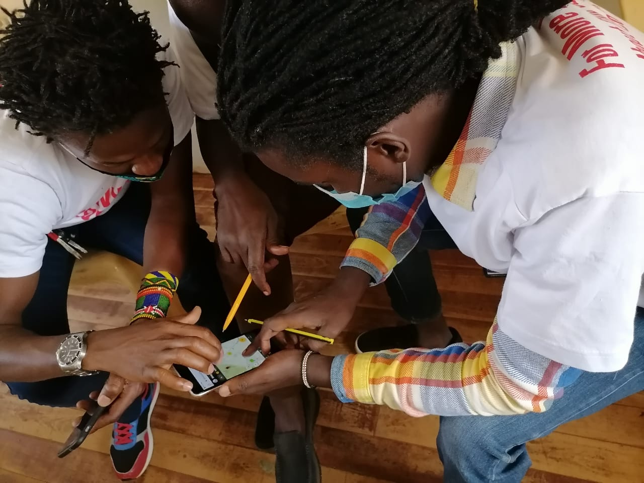
Some of the participants testing how to add posts on the Ushahidi platform using their mobile phones.
The team had already started working remotely, and therefore made use of the online tools for accomplishing the mapping tasks involved in the project. The team used tools like Maps.Me, healthsites.io, and of course OpenStreetMap to work on all the mapping tasks that were agreed upon. The initial training was conducted in form of webinars through Zoom and Google Meet; this was because of government directives on safe distancing to prevent the spread of the coronavirus. As the tools mentioned above suggest, the goals of the mapping activity were the following:
- To train community volunteers on how to add and edit information remotely on OpenStreetMap
- To ensure timely and accurate health data on OpenStreetMap
- To improve coverage of maps on health in the country (especially on informal-settlements)
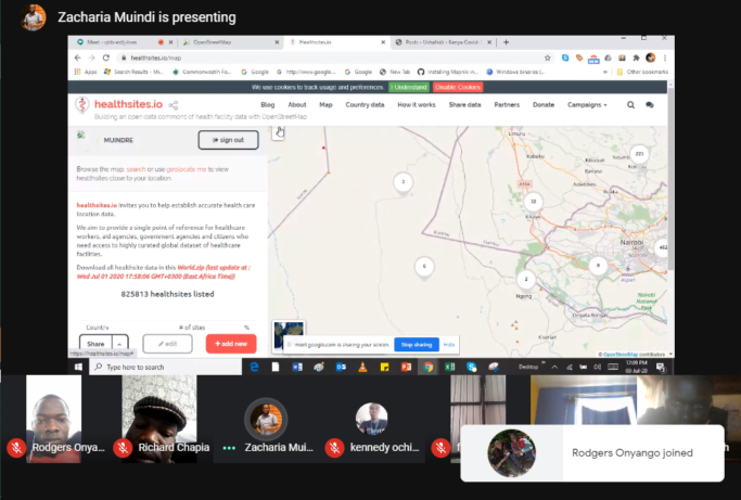
Screenshot of one of the webinars we hosted
All these various activities have enabled the organization to achieve new milestones with regards to Open Data. Since map data is dynamic, the Map Kibera team has been able to create new data, and update already existing data. One way has been through data import; around June, we worked closely with UN Habitat by assisting them to mobilize youths from Kibera who we have engaged previously in some of our mapping activities. The exercise saw the team collect basic information about specific features in Kibera relevant to the Covid pandemic. After the exercise, we uploaded this open data into OSM. Considering Map Kibera has done extensive mapping in the area, we needed to ensure there were no duplicates, and if the feature had already been mapped, to update the feature with the new data. The data import process has been documented on wiki. So far we have managed to add and update over 1400 features on OSM in Kibera and Mathare. Later on UN Habitat shared more data with us to import, this saw us cover new areas such as Kawangware and Kisumu (the import for the two new locations is still ongoing).
Our team members from Mathare while on the field to cross-check and verify the data that was imported and checking for any extra information that was not captured.
Following this great start, Map Kibera in 2020 also received a generous partnership from UK Aid, with Ushahidi and BRCK. BRCK has been setting up its Moja Wifi free access points in Kibera, and we have worked together in the past several months to engage Kibera residents with the Covid Tracker site as well as health information relevant to slumdwellers. As part of this initiative, Map Kibera has increased reach and impact of the site, as well as created new KNN videos and expanded mapped resource coverage more intensively to the Mathare slum. We also have recently trained more community ambassadors on the use of various mapping platforms that are freely available and accessible to the public.
We would like to thank our generous GlobalGiving donors for getting us off to a great start, making all this possible!