By Sudeep Duwal & Kaushal Rijal | Project Team
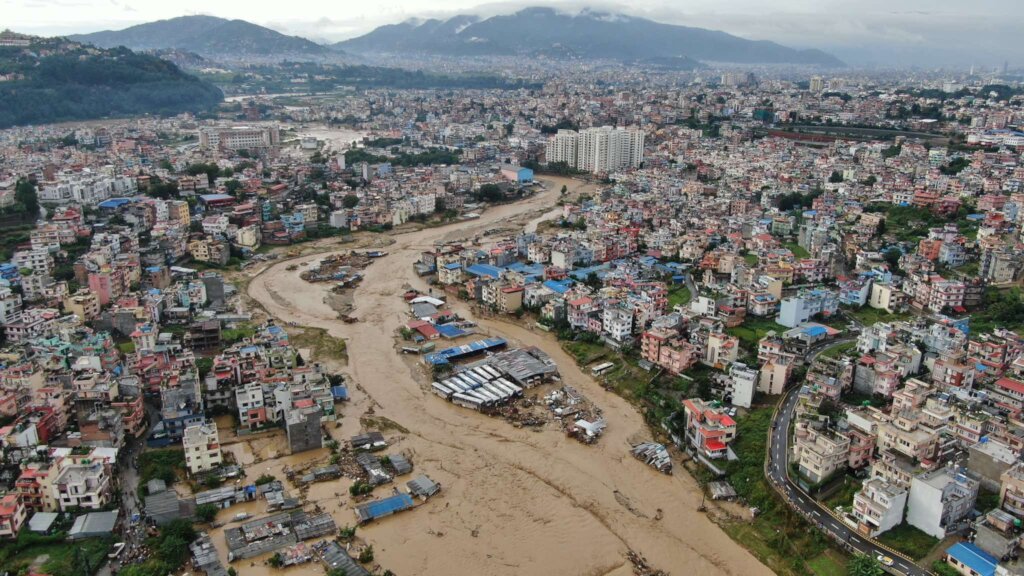
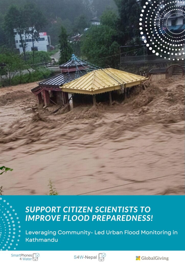
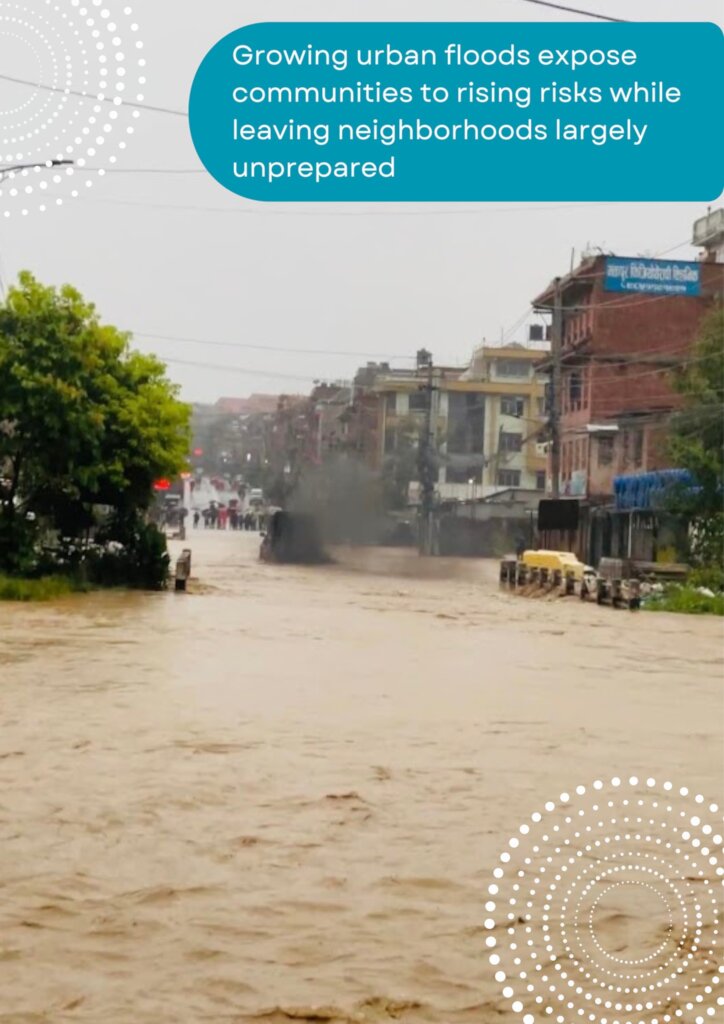
Every monsoon, families across the Kathmandu Valley face the same uncertainty: will the river rise tonight, and will we be safe? One of the major challenges in answering that question is the lack of dense, locally available observations needed to understand how individual rivers respond during intense rainfall. This year, with your support, we took an important step toward filling that gap, working from the ground up with local communities.
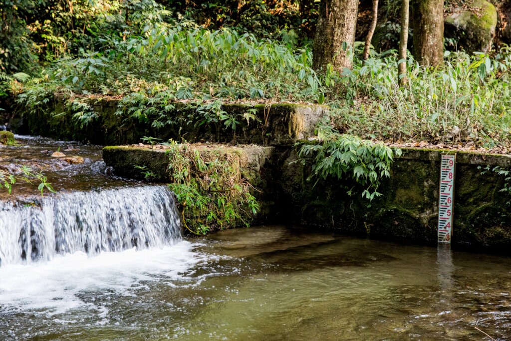
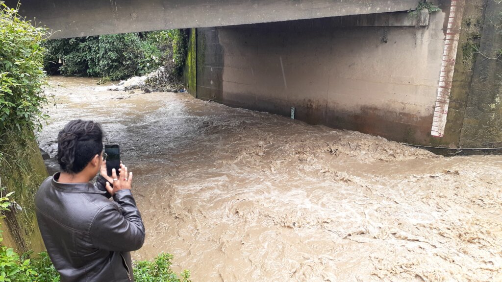
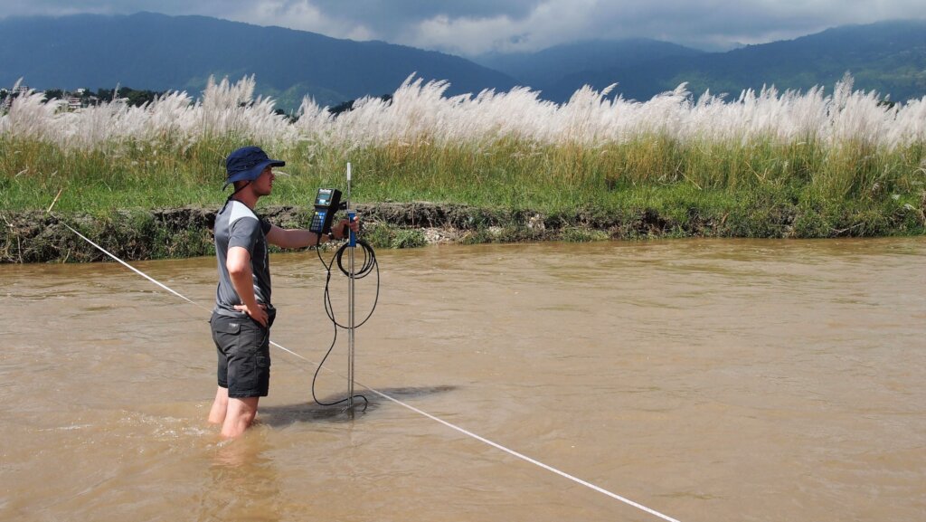
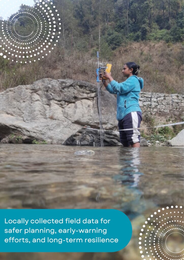
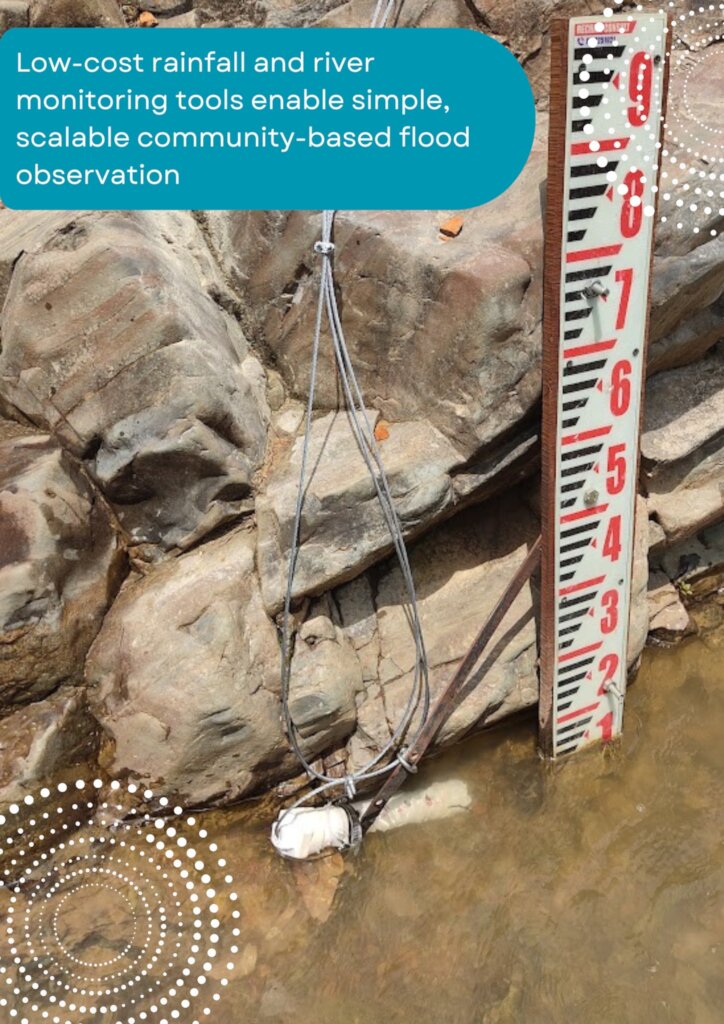
We established a community-based flood monitoring network across the Nakkhu and Hanumante watersheds, two flood-prone areas of the Kathmandu Valley. Rainfall, river water levels, and discharge are being monitored at strategic locations across the watersheds, helping us better understand how rainfall upstream translates into rising rivers downstream.
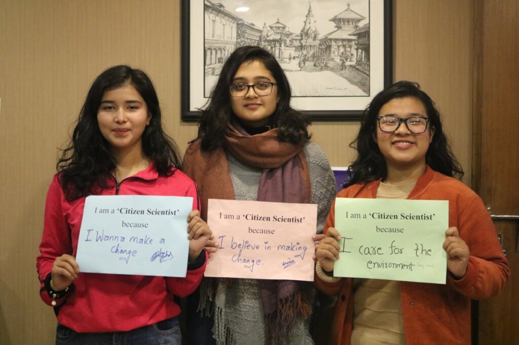
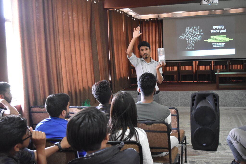
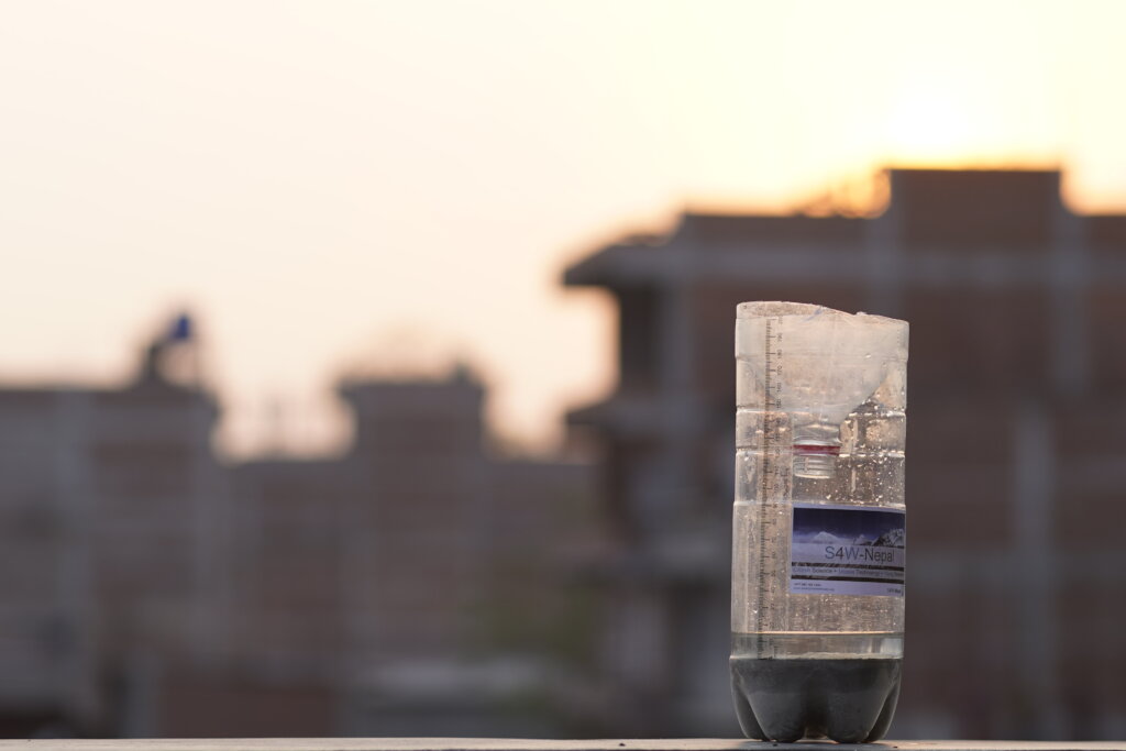
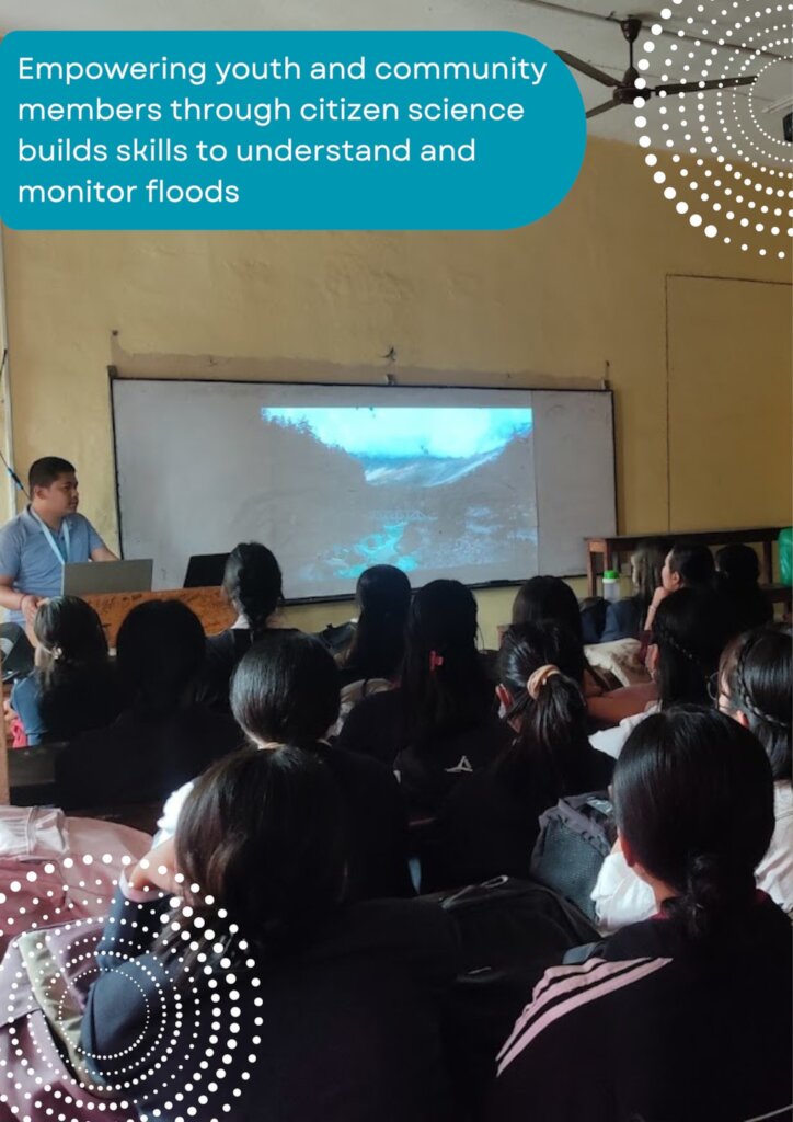
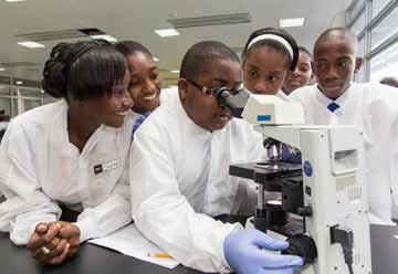
But this project is about more than instruments and measurements. Through outreach activities this monsoon, we engaged approximately 126 students and young researchers, with 22 joining the project as citizen scientists and actively monitoring rainfall across the two watersheds. Their participation is helping expand observations while building local knowledge and engagement around urban flood risk.
Alongside this monitoring effort, we combined field observations with data from Nepal’s Department of Hydrology and Meteorology to strengthen our understanding of flooding in both watersheds. Using HEC-RAS hydraulic modeling, we reconstructed past flood events and mapped flood depths and extents to identify areas that are particularly vulnerable when rivers rise. Together, community observations and flood modeling are helping us build a more detailed picture of how flooding develops across these rapidly urbanizing watersheds.
Ultimately, the goal is to turn local observations into locally useful flood information, information that can support communities and local governments in making better decisions about preparedness, planning, and early warning.
Building on this foundation
Our fundraising this year fell short of the original target, which meant that some planned activities, including further expansion of the monitoring network and workshops with local governments, had to be deferred. With the resources available, we prioritized establishing a strong monitoring and modeling foundation that can support the project’s next phase.
Next, we plan to expand monitoring to additional strategic locations in both watersheds, deepen our analysis of the rainfall conditions that produce flooding, and begin compiling exposure and vulnerability information toward a more comprehensive flood risk assessment. We also plan to bring the findings directly to local governments and community stakeholders so that the information can contribute to real-world planning and early-warning efforts, while documenting the scientific findings through a peer-reviewed publication.
Thank you to everyone who supported this work. Your contribution is helping us build a better understanding of urban flooding from the communities and watersheds where it happens.
By Sudeep Duwal | Project Leader
Project reports on GlobalGiving are posted directly to globalgiving.org by Project Leaders as they are completed, generally every 3-4 months. To protect the integrity of these documents, GlobalGiving does not alter them; therefore you may find some language or formatting issues.
If you donate to this project or have donated to this project, you can receive an email when this project posts a report. You can also subscribe for reports without donating.



Support this important cause by creating a personalized fundraising page.
Start a Fundraiser