An Amazon United: Mapping for Future Resilience

by Humanitarian Openstreetmap Team
Play Video
An Amazon United: Mapping for Future Resilience

Project Report | Feb 10, 2025
Strengthening Community-Led Mapping for the Amazon

By Raelene Page Dugger | Major Gifts Officer

Community led mapping in Amazonias

Strengthening Community-Led Mapping for the Amazon: Lessons, Achievements, and Next Steps

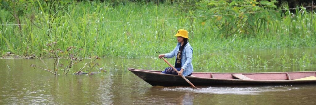
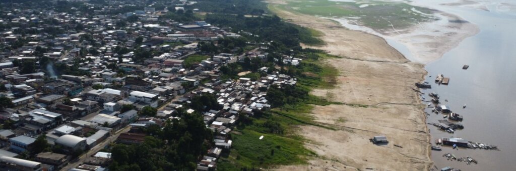
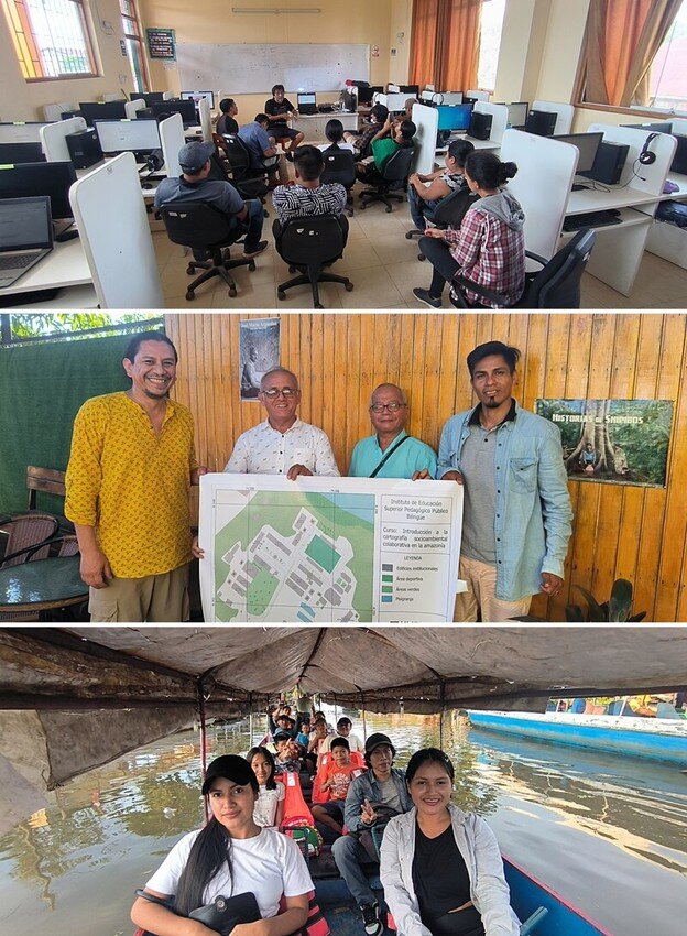
The Mapeos Amazónicos project aimed to support indigenous and local communities in the Amazon region by improving access to geographic data and open mapping tools. Through collaboration with regional organizations, the project sought to enhance territorial knowledge, environmental monitoring, and land rights advocacy. While significant progress was made, key challenges also provided critical learning opportunities for shaping future efforts in the region.

Key Achievements:

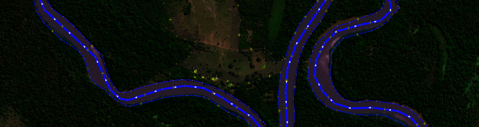
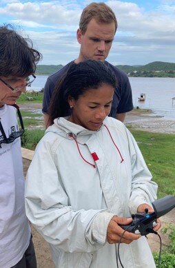
Despite logistical and structural challenges, the project successfully mobilized a large network of contributors and produced high-impact geographic data:

  • 1,569 contributors engaged in mapping via HOT’s Tasking Manager
  • 107 validators ensured data accuracy
  • 1,712 contributors participated in MapSwipe for remote mapping
  • 128,035 buildings mapped
  • 28,614 km of roads mapped
  • A foundational base map was created for various communities across Colombia, Ecuador, and Brazil

These efforts provided local and indigenous organizations with essential geographic information, supporting advocacy for land rights, environmental conservation, and disaster preparedness.

Lessons Learned

Throughout the project, several fundamental lessons emerged:

  1. Bridging the Digital Divide: Indigenous communities in the Amazon face significant technological barriers. Without a structured digital literacy and training strategy, direct inclusion in mapping activities is limited.
  2. Strength in Regional Partnerships: Collaborating with national and regional organizations representing diverse indigenous communities maximizes impact, given the geographical remoteness and high logistical costs of reaching individual communities.
  3. The Role of Trust and Cultural Sensitivity: Trust, community involvement, and transparent dialogue are essential for success. Challenges related to safety, territorial conflicts, and reliance on intermediaries led to project disruptions, underscoring the need for more inclusive engagement strategies.
  4. Refining Data Collection Approaches: The pilot use of MapSwipe highlighted the importance of careful planning and ongoing strategy adjustments to ensure high-quality, useful data.
  5. Shifting HOT’s Role for Greater Impact: Rather than directly training and equipping indigenous communities—an approach that requires substantial resources and risks unintended conflicts—HOT is best positioned to support NGOs already working deeply with specific communities.

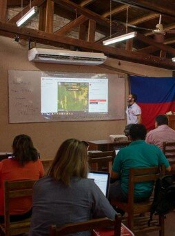
How Data Users Benefited

The mapping data produced under MapeosAmazónicos has been instrumental for various stakeholders:

  • Indigenous Organizations: Used geographic data to identify territorial boundaries, sacred cultural sites, and natural hazards.
  • Local NGOs in Mexico: Leveraged land use and forest monitoring data to strengthen advocacy efforts for territorial defense using low-cost mapping tools.
  • Community Development Initiatives: The foundational base map created through this project is now supporting environmental conservation and community resilience efforts across the Amazon region.

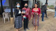
A local government official from Macas, Ecuador, shared the impact of these efforts:

“These workshops are wonderful and serve as an opportunity to train ourselves and at the same time to meet important contacts with which to propose new municipal projects for the good of the citizens, improving our local reality through this knowledge that they are giving us.”
— Iván Palacios, GAD official in Macas, Ecuador

Next Steps and Priorities

In the upcoming quarter, HOT will focus on revitalizing key partnerships across Guatemala, Mexico, the Dominican Republic, Ecuador, Peru, Bolivia, and Brazil. Activities will include:

  • Re-establishing collaborations with regional and indigenous organizations
  • Launching remote training sessions in Ecuador, targeting organizations specializing in Amazon conservation and field mapping
  • Expanding efforts to ensure that underrepresented groups—including women, indigenous communities, and persons with disabilities—have access to open mapping opportunities

By building on lessons learned and strengthening regional partnerships, HOT aims to continue supporting community-led mapping initiatives that contribute to land rights advocacy, environmental protection, and sustainable development in the Amazon.

Share on Twitter Share on Facebook

About Project Reports

Project reports on GlobalGiving are posted directly to globalgiving.org by Project Leaders as they are completed, generally every 3-4 months. To protect the integrity of these documents, GlobalGiving does not alter them; therefore you may find some language or formatting issues.

If you donate to this project or have donated to this project, you can receive an email when this project posts a report. You can also subscribe for reports without donating.

Sign up for updates

Organization Information

Humanitarian Openstreetmap Team

Location: Washington, DC - USA
Website:
Facebook: Facebook Page
X / Twitter: Profile
Project Leader:
Anne Sorensen
Washington , DC United States

Funded Project!

Combined with other sources of funding, this project raised enough money to fund the outlined activities and is no longer accepting donations.
   

Still want to help?

Find another project in Brazil or in Ecosystem Restoration that needs your help.
Find a Project

Learn more about GlobalGiving

Teenage Science Students
Vetting +
Due Diligence

Snorkeler
Our
Impact

Woman Holding a Gift Card
Give
Gift Cards

Young Girl with a Bicycle
GlobalGiving
Guarantee

Get incredible stories, promotions, and matching offers in your inbox

WARNING: Javascript is currently disabled or is not available in your browser. GlobalGiving makes extensive use of Javascript and will not function properly with Javascript disabled. Please enable Javascript and refresh this page.