By Raelene Page Dugger | Major Gifts Officer
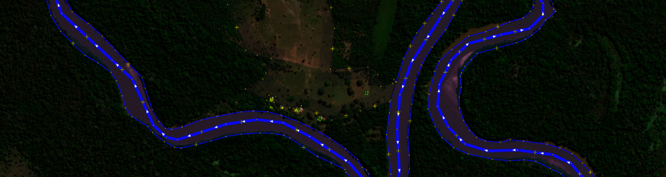
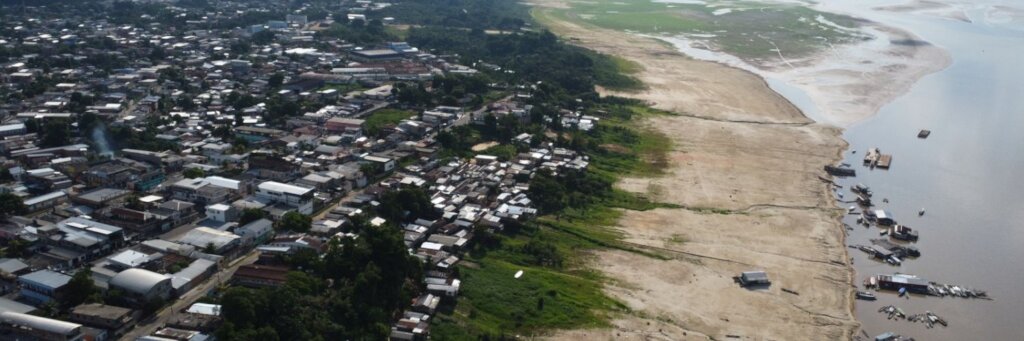
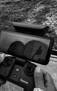
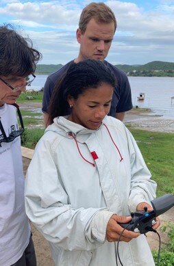
Since our last update, we have made significant strides in addressing information gaps through the Ecuador National Mapathon. This initiative brings together contributors from various sectors to update critical geospatial data on the OpenStreetMap (OSM) platform. In collaboration with the National Secretariat for Risk Management and GeomapEspe, we are equipping local authorities and communities with the information they need to manage emergencies and reduce risks.
So far, we have mapped 5,477 buildings and covered 51 km² across key areas prone to natural hazards. The multisectoral nature of this project—bridging government, academia, and local mappers—has laid the foundation for improved resilience in Ecuador. Accurate maps allow authorities to make informed decisions about evacuation routes, shelters, and emergency services, ensuring faster, more effective responses to potential disasters.
This project exemplifies the power of open mapping to foster collaboration, save lives, and support community safety efforts. Together, we are building a stronger, safer Ecuador, one map at a time. Thank you for your continued support, which allows us to lead initiatives like this!
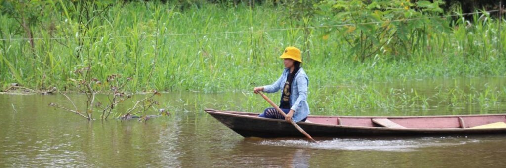
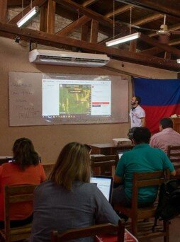
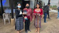
Our collaborative mapping efforts in Pucallpa, Peru are advancing with meaningful participation from indigenous communities and local partners. This project focuses on addressing pressing environmental threats, such as deforestation and forest fires, in the Amazon region. Through partnerships with educational institutions and NGOs, 31 participants have been trained in the use of OpenStreetMap (OSM) and digital tools to document and protect their territories.
The initiative has not only provided technical skills but also fostered collaboration between indigenous leaders and technical experts, ensuring that local knowledge informs environmental monitoring. These maps now serve as vital tools for identifying threats and planning conservation strategies to protect fragile ecosystems. By bridging the digital divide, this project empowers indigenous communities to safeguard their land while strengthening connections between local stakeholders.
We are proud to witness how open mapping creates opportunities for community-led environmental stewardship. With your support, we are building sustainable solutions that contribute to the protection of one of the world’s most important ecosystems. Thank you for being part of this journey!
Project reports on GlobalGiving are posted directly to globalgiving.org by Project Leaders as they are completed, generally every 3-4 months. To protect the integrity of these documents, GlobalGiving does not alter them; therefore you may find some language or formatting issues.
If you donate to this project or have donated to this project, you can receive an email when this project posts a report. You can also subscribe for reports without donating.