An Amazon United: Mapping for Future Resilience

by Humanitarian Openstreetmap Team
Play Video
An Amazon United: Mapping for Future Resilience

Project Report | Jun 7, 2024
Meet the Women-Led Mapping Group Enabling Quilombola Communities in the Amazon Through Open Mapping

By Raelene Dugger | Major Gifts Officer

Women Mapping in Brazil

Summary of Activities

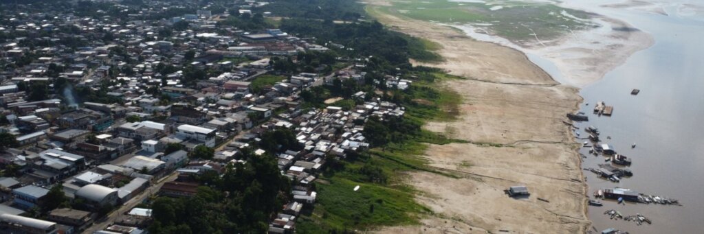
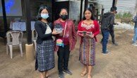
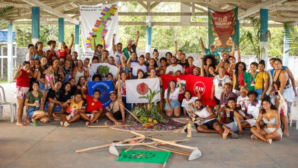
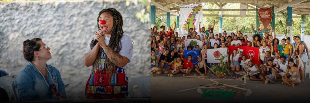
Since our last report, the Amazonia Mapping Project has made significant strides in empowering Quilombola communities in the Moju-PA region of Brazil. These Afro-descendant communities, known for their rich cultural heritage and agricultural activities, are facing intense pressure from industrial enterprises. Our initiative, led by the Meninas da Geo group and supported by the Open Mapping Hub in Latin America and the Caribbean (LAC Hub), focuses on collaborative mapping to support their land rights and territorial recognition.

Impact in the Amazon

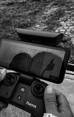
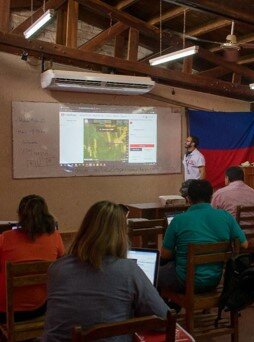
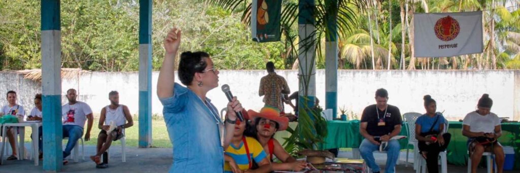
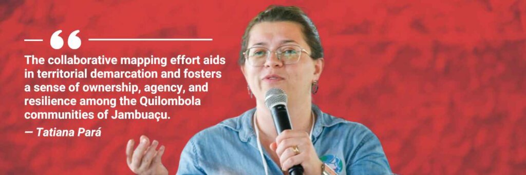
Tatiana Pará, the Director of Meninas da Geo and a professor at the Federal Institute of Pará (IFPA) in Belém, has been instrumental in this project. With expertise in Agronomy, Geotechnologies, and Amazon Development, Tatiana and her team have been working closely with the Quilombola communities to train them in geotechnological skills and mapping practices. This initiative has not only enhanced their ability to document and protect their territories but also strengthened their cultural identity.

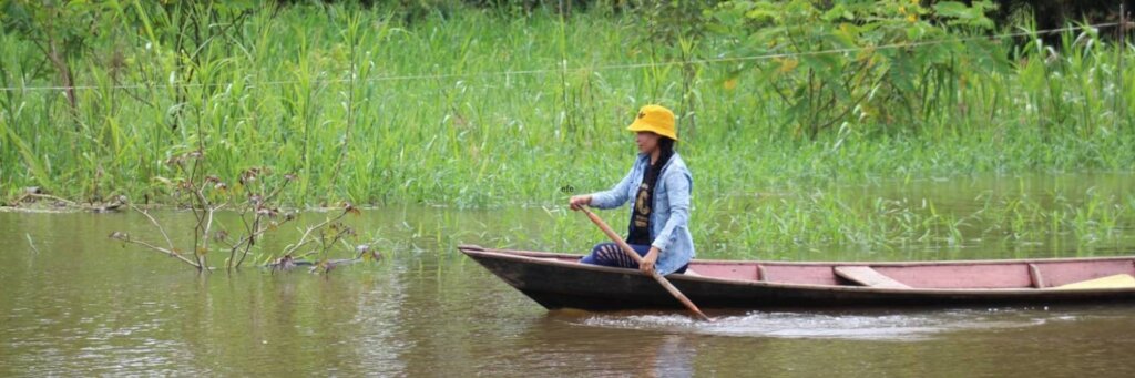
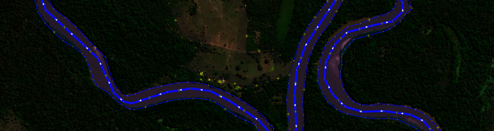
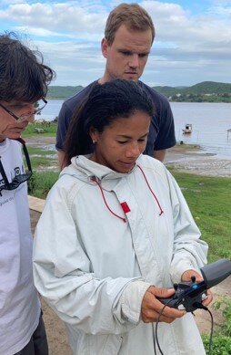
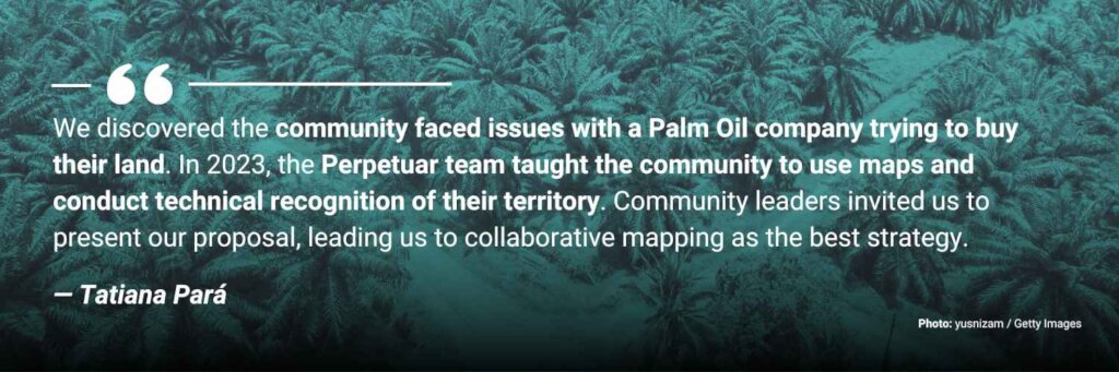
One notable story comes from the Quilombola community of Jambuaçu. During our mapping workshops, community members expressed their frustration about being invisible on digital maps, which weakens their fight for land recognition. Through the project, they learned to interpret satellite imagery and use mapping tools to document their territories. This hands-on training has empowered them to take control of their geographic information, ensuring their lands are accurately represented and protected from external pressures.

Project Achievements

  1. Community Engagement: We have successfully engaged with multiple Quilombola communities, conducting workshops and training sessions to enhance their mapping skills.
  2. Mapping Progress: Significant progress has been made in mapping Quilombola territories and access roads, making these areas visible on platforms like OpenStreetMap.
  3. Capacity Building: By involving community members, especially women and youth, we have ensured the sustainability of our efforts and the continuity of knowledge transfer within the communities.

Looking Ahead

Our project continues to focus on the active participation and empowerment of Quilombola communities. We aim to expand our reach to more communities, providing them with the tools and knowledge to document and protect their territories. As we move forward, we remain committed to fostering resilience and ownership among these communities, ensuring their voices are heard, and their lands are safeguarded.

Thank you for your continued support in making this vital work possible.

Building a Collaborative Future
Tatiana Para Quote
Tatiana Para Quote
Participatory Geospatial Mapping
Challenging Dominant Mapping Practices

Links:

Share on Twitter Share on Facebook

About Project Reports

Project reports on GlobalGiving are posted directly to globalgiving.org by Project Leaders as they are completed, generally every 3-4 months. To protect the integrity of these documents, GlobalGiving does not alter them; therefore you may find some language or formatting issues.

If you donate to this project or have donated to this project, you can receive an email when this project posts a report. You can also subscribe for reports without donating.

Sign up for updates

Organization Information

Humanitarian Openstreetmap Team

Location: Washington, DC - USA
Website:
Facebook: Facebook Page
X / Twitter: Profile
Project Leader:
Anne Sorensen
Washington , DC United States

Funded Project!

Combined with other sources of funding, this project raised enough money to fund the outlined activities and is no longer accepting donations.
   

Still want to help?

Find another project in Brazil or in Ecosystem Restoration that needs your help.
Find a Project

Learn more about GlobalGiving

Teenage Science Students
Vetting +
Due Diligence

Snorkeler
Our
Impact

Woman Holding a Gift Card
Give
Gift Cards

Young Girl with a Bicycle
GlobalGiving
Guarantee

Get incredible stories, promotions, and matching offers in your inbox

WARNING: Javascript is currently disabled or is not available in your browser. GlobalGiving makes extensive use of Javascript and will not function properly with Javascript disabled. Please enable Javascript and refresh this page.