By Sarah LaBrasca | Project Leader
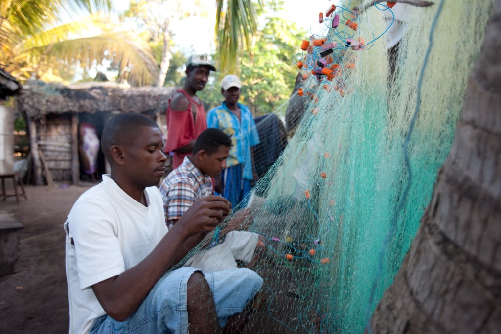
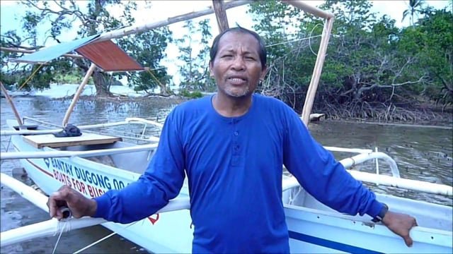
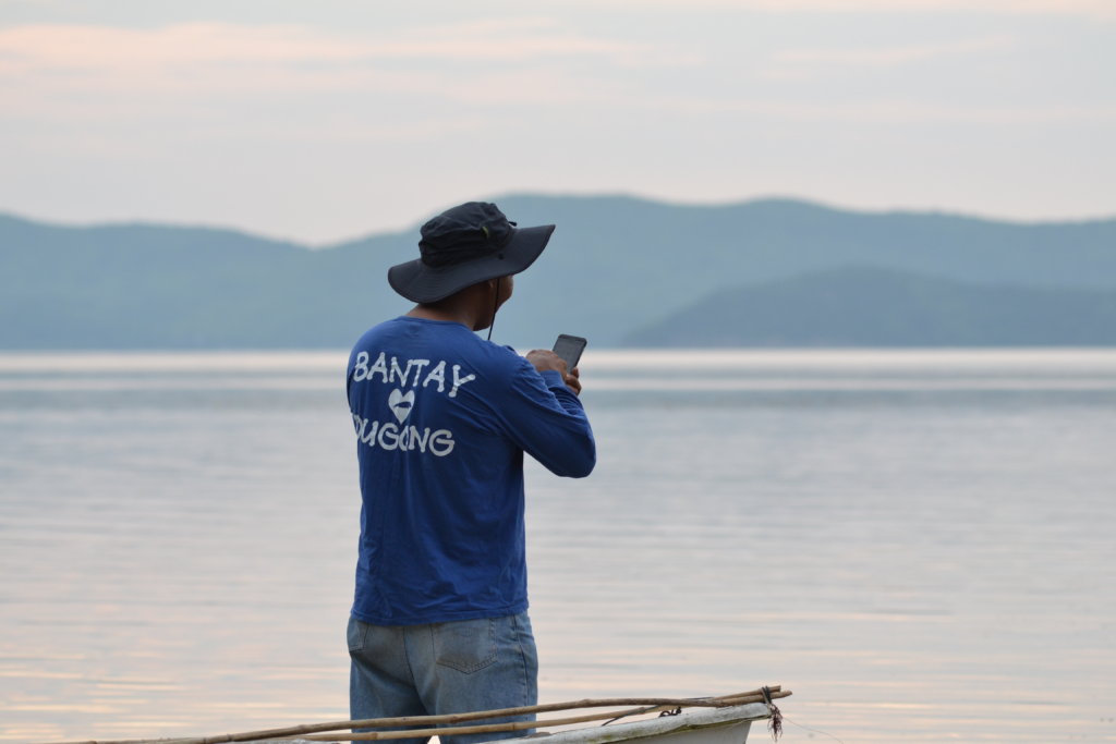
Artisanal fishermen on the island of Busuanga in the Philippines have started sighting dugongs on their fishing trips and dugong mapping is underway!
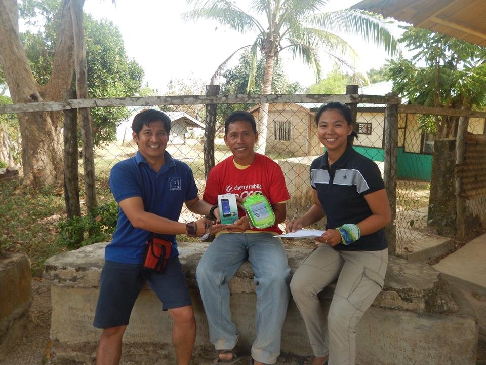
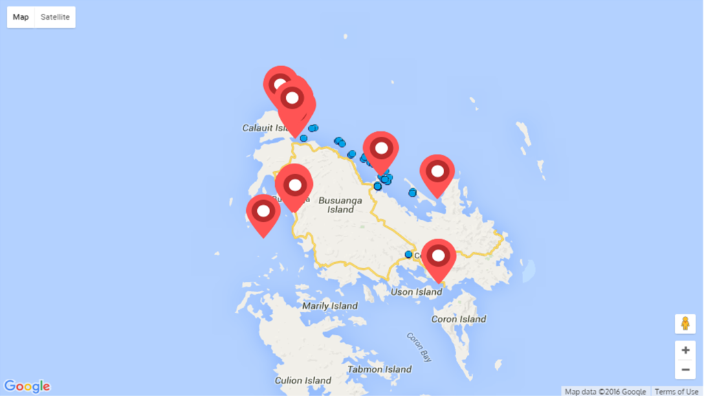
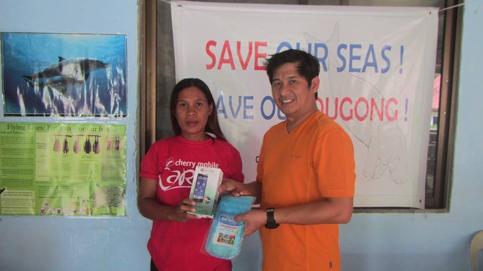
Mobile phones with the app have been distributed to the fisherman who simply take a geo-located photo when they see a dugong. The local NGO, Community Centred Conservation (C3), has been able to start building a precise and comprehensive picture of the dugong population. The app also tracks the fishing boats to identify dugong-free areas of sea, which allows more targeted conservation activities to be put into practice. Detailed maps are kept confidential by SEN and C3 in order to protect the dugongs from poaching.
Thanks to this campaign, the database is being built up, the local community is engaged and new practices will be identified to better assist the protection of this vulnerable dugong population.
“Technology and conservation can unite to open a new era of environmental action” explains Simon Hodgkinson, founder of SEN. Because you have expressed your interest in this project and your concern for nature conservation, please link up to the SEN website and join (there’s no fee or engagement) and see more updates on conservation issues and technical ideas to help preserve nature.
Links:
Project reports on GlobalGiving are posted directly to globalgiving.org by Project Leaders as they are completed, generally every 3-4 months. To protect the integrity of these documents, GlobalGiving does not alter them; therefore you may find some language or formatting issues.
If you donate to this project or have donated to this project, you can receive an email when this project posts a report. You can also subscribe for reports without donating.