By Mario de Leon | Faculty Member, GCOE
The De La Salle University Gokongwei College of Engineering (DLSU GCOE) is undertaking as part of its institutional Community Engagement, the Lasallian Engineers for God and Country (LEGACY) Project. Its major objectives are the following: to allow the students to practice their field of specialization based on the needs of the partner communities; venue for knowledge and intellectual exchange among other engineering fields; to develop the expertise and the sense of professionalism; and enhance the culture of service using the field of engineering.
As a response to the incident in Leyte in 2013 where the super typhoon Yolanda took thousands of lives and caused enormous damage to properties, a composite team from LEGACY was formed. The focus of this group is to provide basic assistance to priority communities in Leyte with the help and network of DLSP (De La Salle Philippines) in the form of information, education and campaign (IEC) on disaster risk reduction. Priority Communities Recipient of the project are Barangay San Miguel located in the Municipality of Dulag and Barangay Diit in Tacloban City, Leyte.
Members of the team include the following: Dr. Leonila Abella, Dr. Susan Gallardo, Dr. Mario de Leon, Ms. Kathlene Marie Gaurana, Stephanie Denise Suarez, Mr. Louise Patrick Pambid, Kevin John Lee, and Ezekiel Bernardo.
Based on an assessment conducted during an earlier visit, the team found out that the two communities are not resilient against various hazards of earthquake, extreme wind, storms, tsunami and flood among others. These were supported by their observations during the reconnaissance survey which highlights the following; (1) lack of community awareness in disaster risk resilience practices in the grassroots level (barangay), (2) vulnerable structural typologies in the form of makeshift houses built on hazardous area (beach front), and (3) lack of integration of DRR principles as perceived in the city government on its application and policy making.
The highlight of this particular CE intervention is the mapping of their critical infrastructure with the support of the CE department led by Engr. Jason Maximino Ongpeng, Drs. Maricel Paringit, Lessandro Estelito Garciano and Mario de Leon.
Dr. Paringit generated seven (7) maps consisting of Barangay Diit Administrative Map, Fault Line, Liquefaction Susceptibility, Storm Surge, MGB Flood Susceptibility, MGB Landslide Susceptibility, Waterways and Roads. These maps were made as basis of identifying four specific workshop activities that will be implemented by the two priority communities, to wit; (1) Location of Lifeline Support Structures/Facilities (2) Validation of Position/Location of Waterways and Roads, (3) Validation of Landslide and Flood Susceptibility Data (4) Structural Typologies of Houses and Soil Condition.
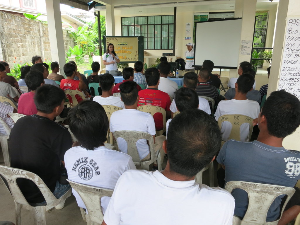
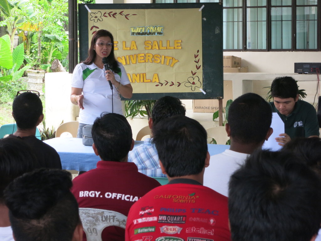
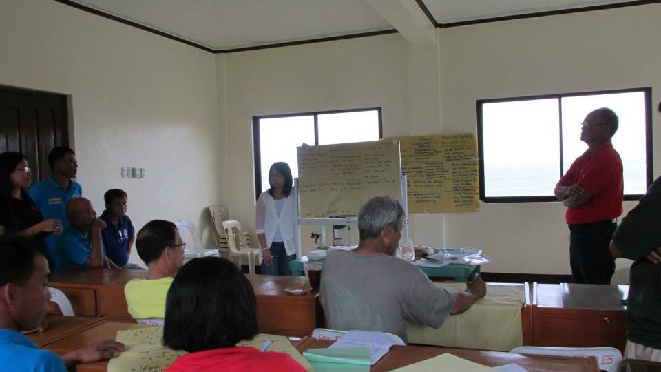
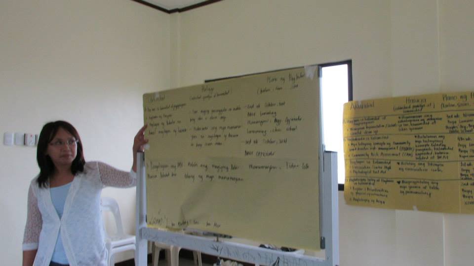
Dr. De Leon presented the initial activities of reading and interpreting the maps and the validation of data which are the plans of action that the two communities will have to perform in preparation for the design of their disaster management activities. The activity ended with a short presentation of initial findings and results of the field survey.
The generated maps were donated to Barangay Diit with the intention to use these in the information and education dissemination in the barangays and to continue the work on validation of data.
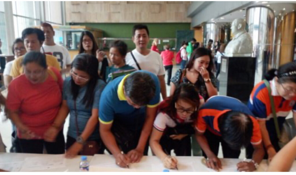
The DRR presentation and workshop activities were first-hand experience by the participants on community engagement with academic institution and exposure on use the GPS equipment and field survey. They recognized the importance of reading and understanding maps, interpreting what the maps convey and the validation of data useful in disaster risk reduction management.
Project reports on GlobalGiving are posted directly to globalgiving.org by Project Leaders as they are completed, generally every 3-4 months. To protect the integrity of these documents, GlobalGiving does not alter them; therefore you may find some language or formatting issues.
If you donate to this project or have donated to this project, you can receive an email when this project posts a report. You can also subscribe for reports without donating.



Support this important cause by creating a personalized fundraising page.
Start a Fundraiser