Every year, millions of Bangladeshis contract cholera - the nation's most prevalent diarrhea disease. Using cell phones equipped with data collection software, the Village Zero Project (V0P) aims to create a map that will show the proliferation of cholera in time and space, thus exposing where outbreaks most commonly originate. With this knowledge, water and sanitation infrastructure interventions can be implemented at the most disease-prone regions, helping to mitigate the spread of disease.
In the spring, the Bay of Bengal - which serves as a natural reservoir for the cholera bacteria - flows inland, observably causing the first outbreak amongst coastal communities. Waste containing the cholera bacteria enters the sewage system and remains untreated due to poor water and sanitation infrastructure. Therefore, during the late summer monsoon season, flooding of cholera-contaminated sewage into drinking water sources results in a second outbreak.
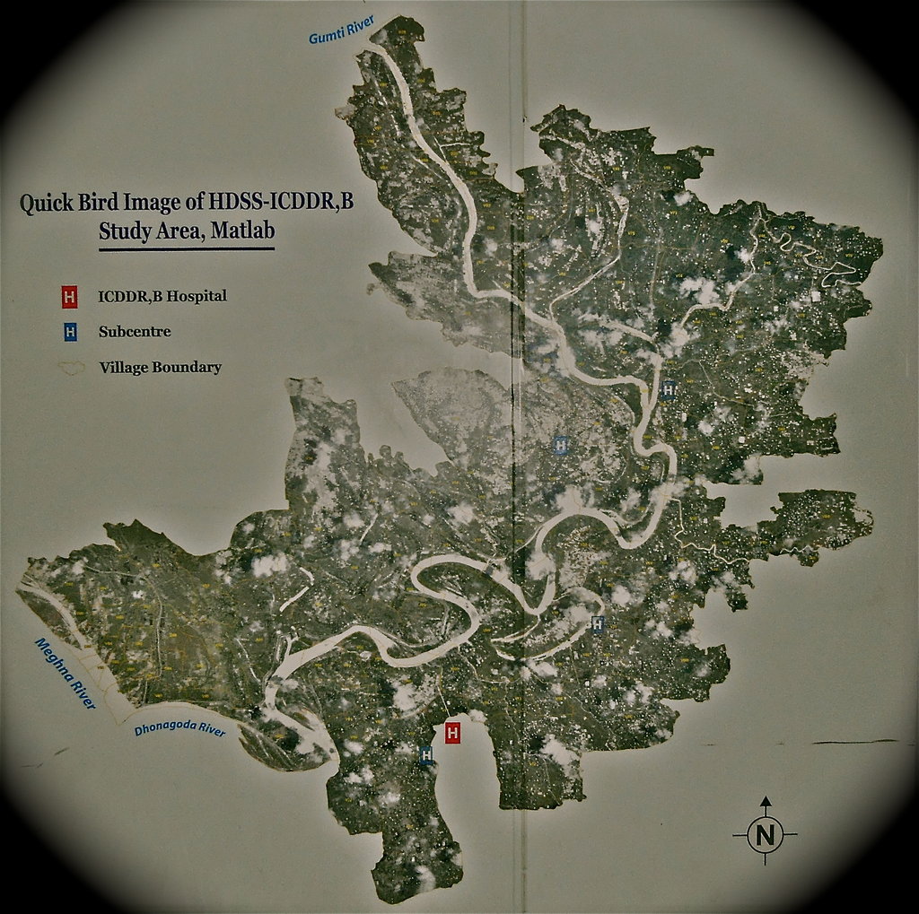
We predict that by identifying the index region where the spring outbreak begins (Village Zero), resources can be redistributed to this area and ultimately reduce annual disease incidence via preemptive prevention (i.e. geographically targeted improvements in infrastructure). To perform this task, we have designed an endemic disease mapping schematic for cholera in Bangladesh that will use mobile technologies to discover where outbreaks originate and how they proliferate.
By mapping annual outbreaks of cholera in Bangladesh, we can provide essential consultation services to the nation's water and sanitation sector. Identifying the most disease-prone regions in Bangladesh will allow the sector to best allocate its resources in order to effectively prevent cholera. If successful in Bangladesh, this endemic disease mapping schematic may be used to significantly reduce infectious disease burden in resource-poor countries worldwide.