By Pete Master | Special Projects Advisor
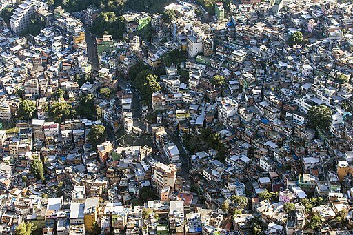
According to the 2022 Census, Brazil had 12,348 favelas and urban communities housing 16.4 million people, or 8.1% of the national population. These areas are often characterised by precarious housing, lack of basic services, and exposure to environmental and social risks. Residents tend to be younger and disproportionately from minority backgrounds, with limited access to education and healthcare. Addressing these issues is at the center of current Brazilian federal government efforts to promote inclusive urban development, with the government prioritizing investment, infrastructure, and participatory planning.
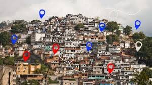
The National Secretariat for Peripheries, created in 2023 under Brazil’s Ministry of Cities, is responsible for coordinating public policies for urban peripheries, focusing on housing, infrastructure, climate risk, and social inclusion. A key part of its strategy is strengthening data-driven decision making through programs like the Mapa das Periferias, an open platform that maps vulnerabilities and community assets. This platform helps the government target investments more effectively while promoting participation and visibility for marginalized areas in national policy. MdP’s mission is to use data for decision-making in line with the National Spatial Data Infrastructure (INDE) to promote the equitable development of informal settlements in partnership with communities themselves.
In 2024 Humanitarian OpenStreetMap Team (HOT) signed an MOU with the National Secretariat for Peripheries to support the development of an open source tool that would enable the Mapa de Periferias and several partners to collect data in a simple, reliable and sustainable way. The tool, called Nós no Mapa, created by 2025, is one of the first open-source applications to support participatory data collection from informal settlements, opening the possibilities for effective and reliable data collection. HOT is currently supporting MdP’s pilot ‘mapeamento popular’ campaigns with communities in Recife and Salvador, incorporating deployment of the new tool within an innovative community mapping approach using the Field Mapping Tasking Manager (FMTM).
Links:
Project reports on GlobalGiving are posted directly to globalgiving.org by Project Leaders as they are completed, generally every 3-4 months. To protect the integrity of these documents, GlobalGiving does not alter them; therefore you may find some language or formatting issues.
If you donate to this project or have donated to this project, you can receive an email when this project posts a report. You can also subscribe for reports without donating.