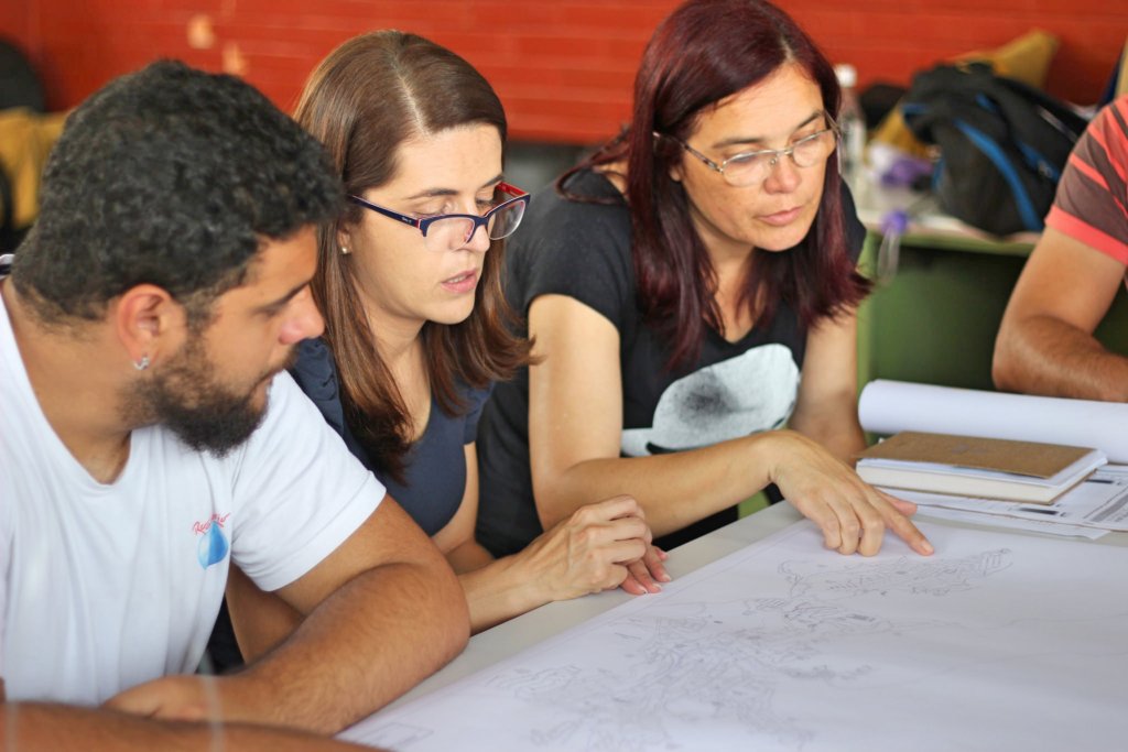
Communitor aims to help the residents of Aglomerado da Serra, the largest slum in Belo Horizonte, Minas Gerais, Brazil fight the battle against mosquito-borne diseases, such as Dengue Fever, Yellow Fever, Zika and Chikungunya. It creates a map of the distribution of mosquitos and occurrences of disease cases, which is then used to predict disease outbreaks and plan resource allocation. Such geographical information significantly improves the effectiveness of vector control.
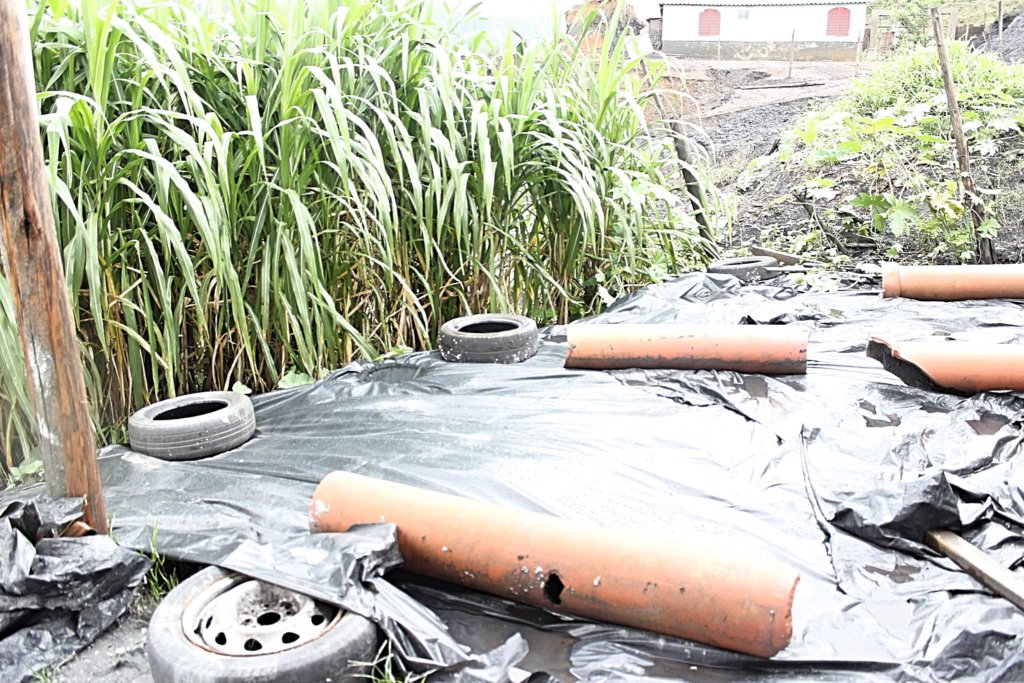
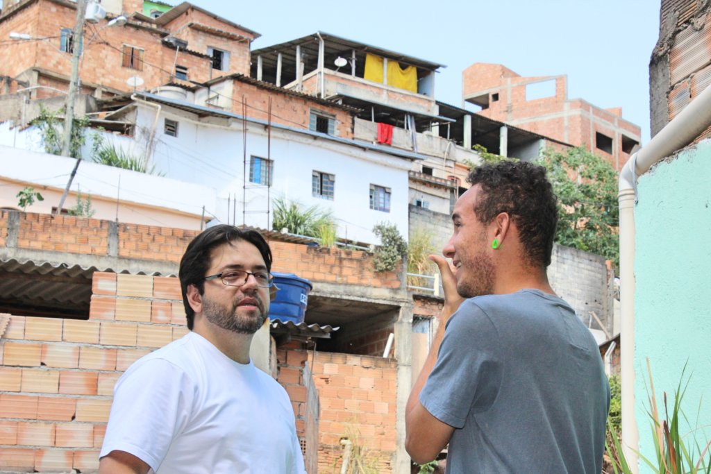
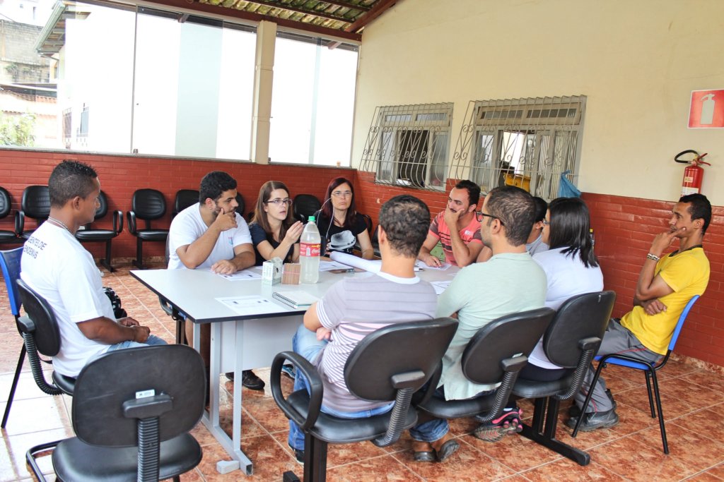
As one of the largest slums in Brazil, Serra's Slum has approximately 48,000 residents. Lack of sewerage and garbage collection systems makes diseases transmitted by Aedes mosquitoes the largest health and environmental problem the community faces. The residents are aware of the problem; however, they don't know how to approach it. The lack of relevant information makes the planning, the execution and the evaluation of vector control expensive and ineffective most of the times.
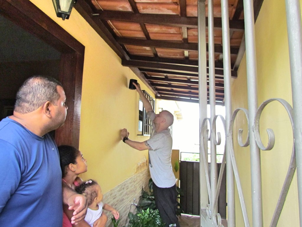
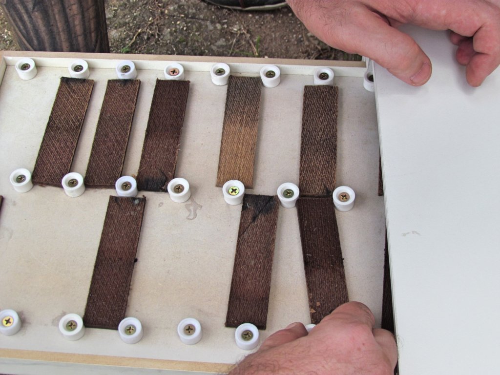
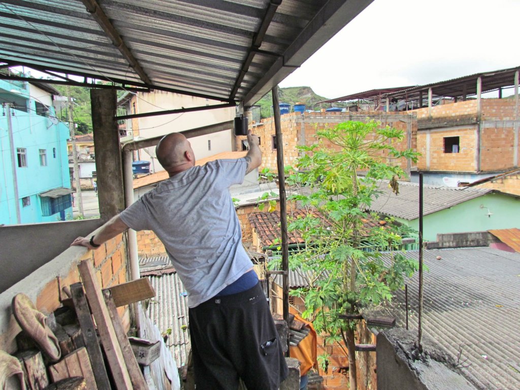
Communitor uses traps to capture mosquito eggs and a computer program to automatically perform the counting process. The data is then plotted onto a map and published to the residents and public officers of Aglomerado da Serra. This map updates every week and provides each inhabitant with a detailed map on risk of infection and an action plan according to individual home address. Communitor requires one field worker to maintain the traps and perform image analysis.
In order to fight mosquito infestation, the public must join effort with the government. Communitor enables people to destroy mosquito breeding sites according to pre-outlined protocols. In addition, government officials can identify precisely and on time the magnitude of the infestation in a given area and choose the appropriate measure to combat the situation, which would efficiently reduce the number of cases of mosquito-borne diseases, improving general health and increasing life expectancy.
This project has provided additional documentation in a PDF file (projdoc.pdf).