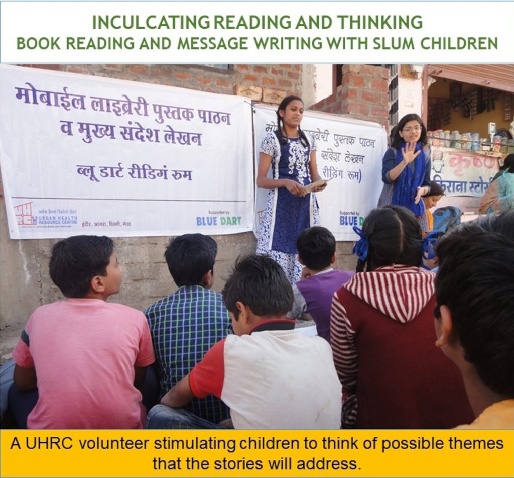
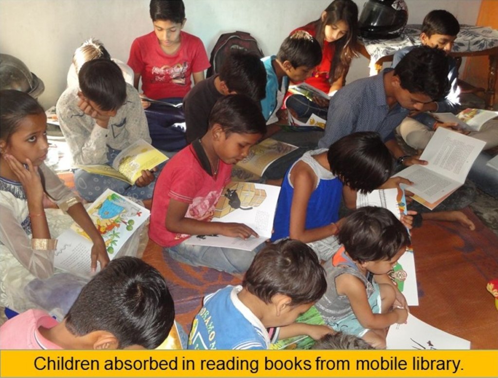
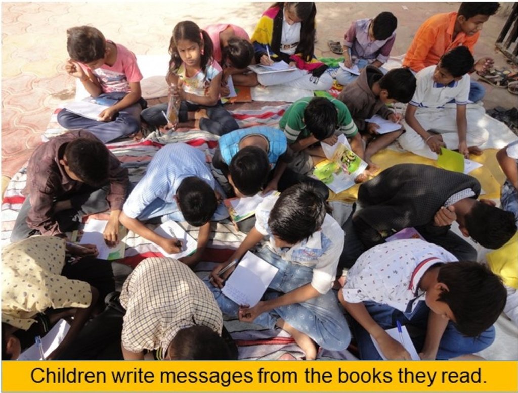
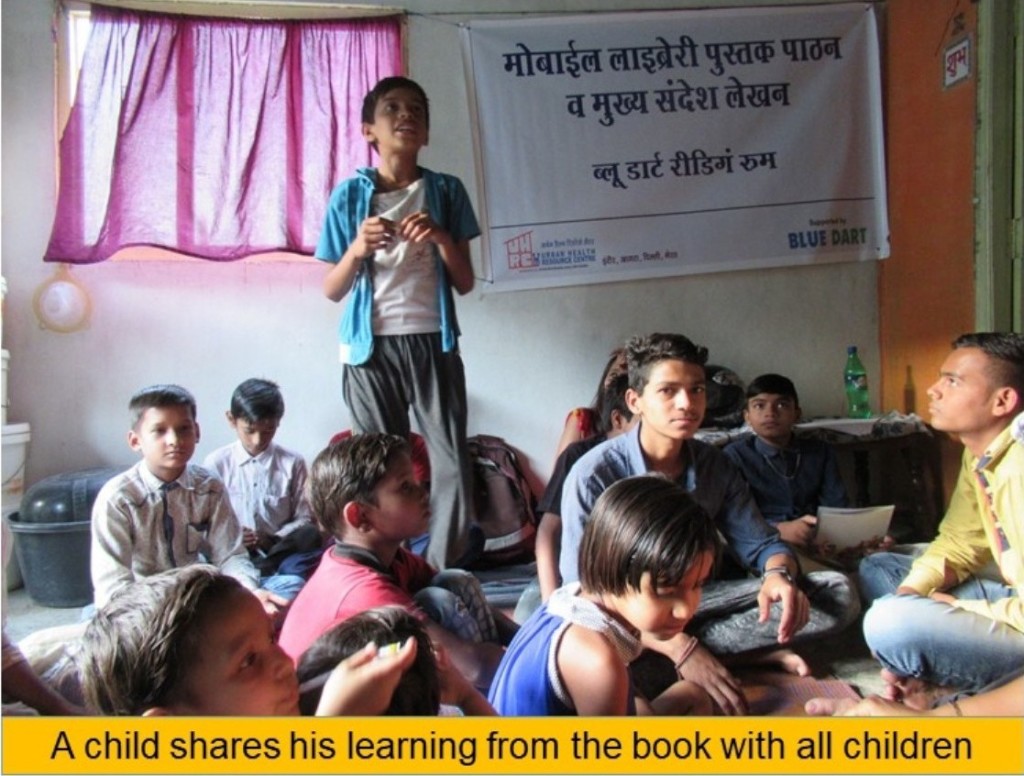
By Kanupriya Kothiwal | Research Intern
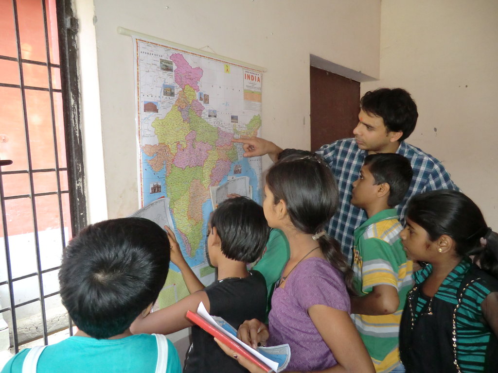
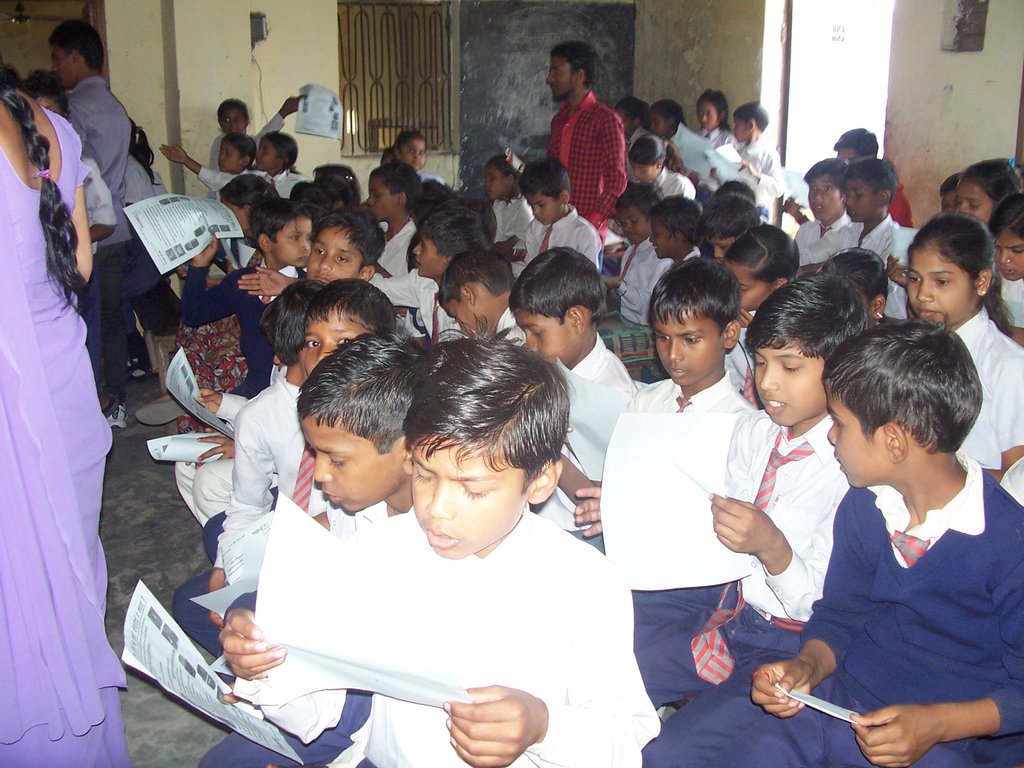
Most Indian schools catering to disadvantaged children often lack basic resources to teach (for e.g. charts, supplementary books, maps) which deprives children in absorbing basic concepts like understanding prominent geographical features of India and the world. Maps play a crucial role in enhancing the right brain faculties to retain visuals associated with facts. Learning geography through maps can enable children to grasp images and relate to country’s prominent relief features easily.
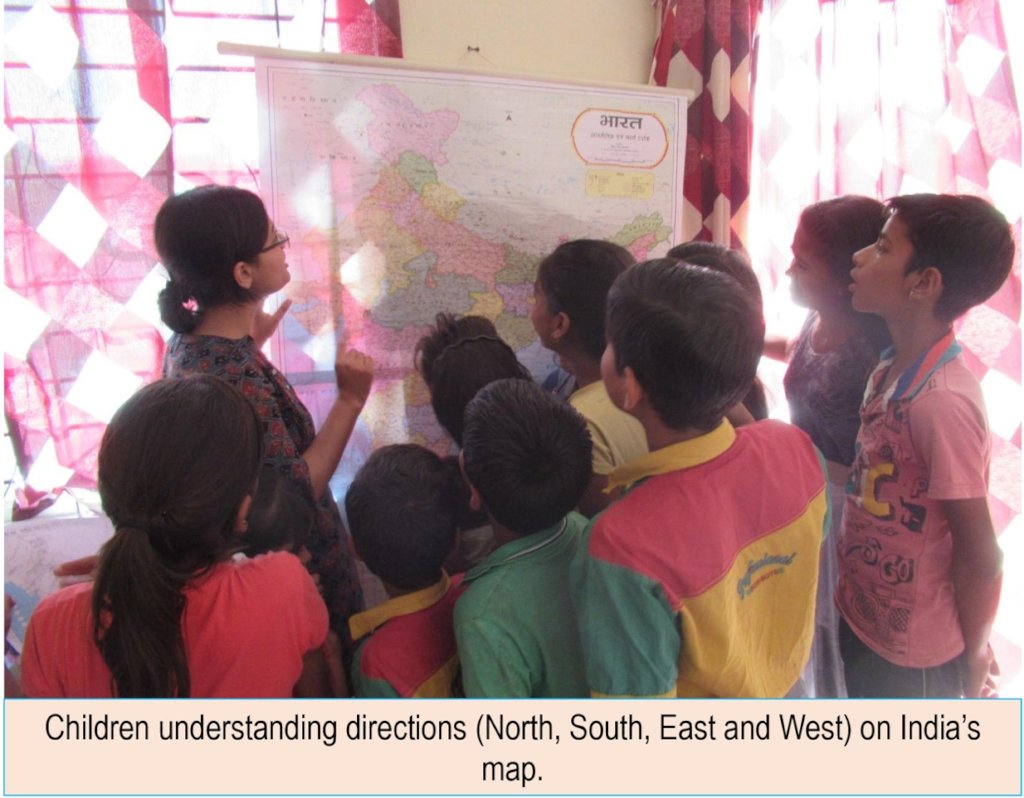
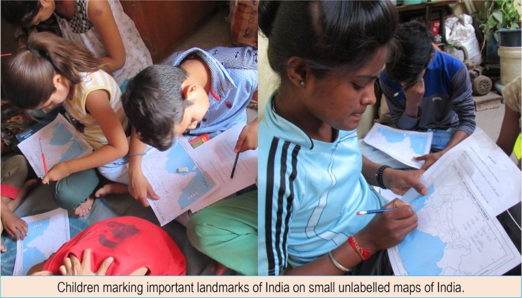
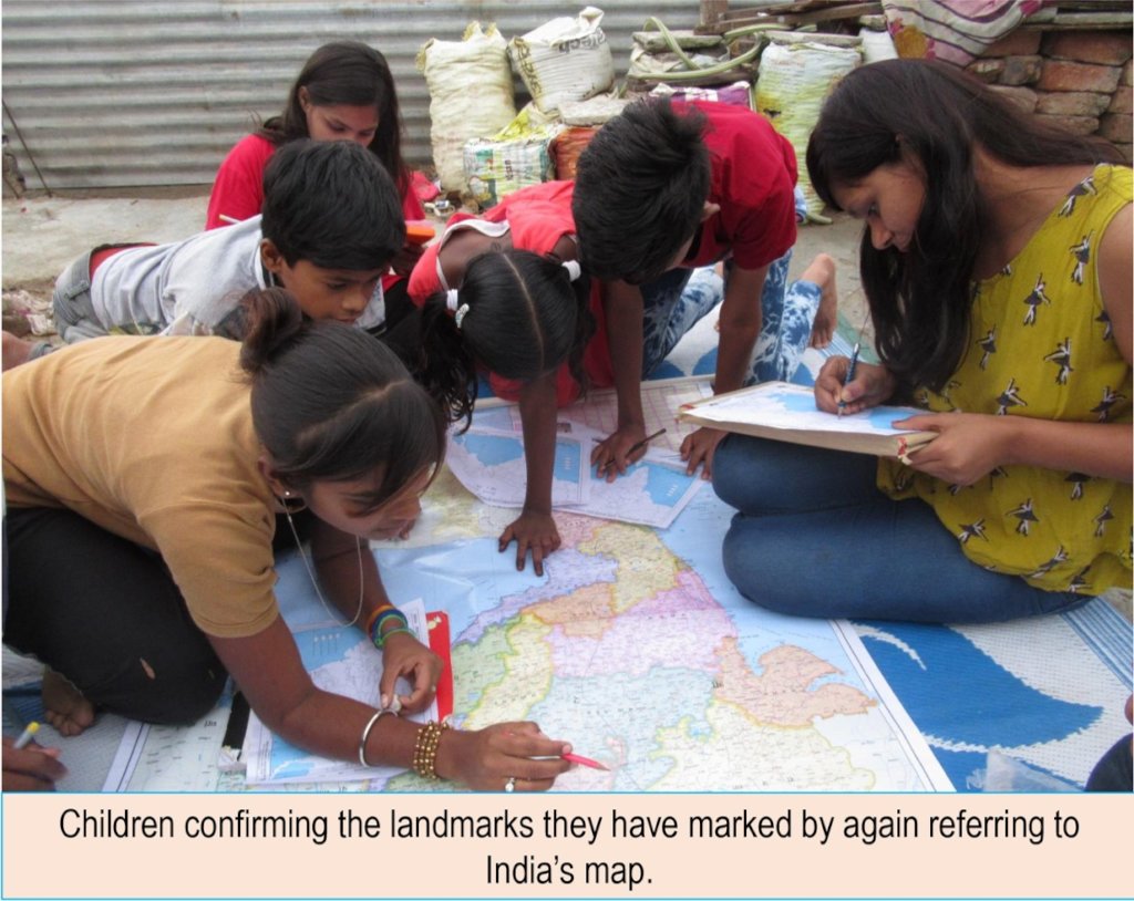
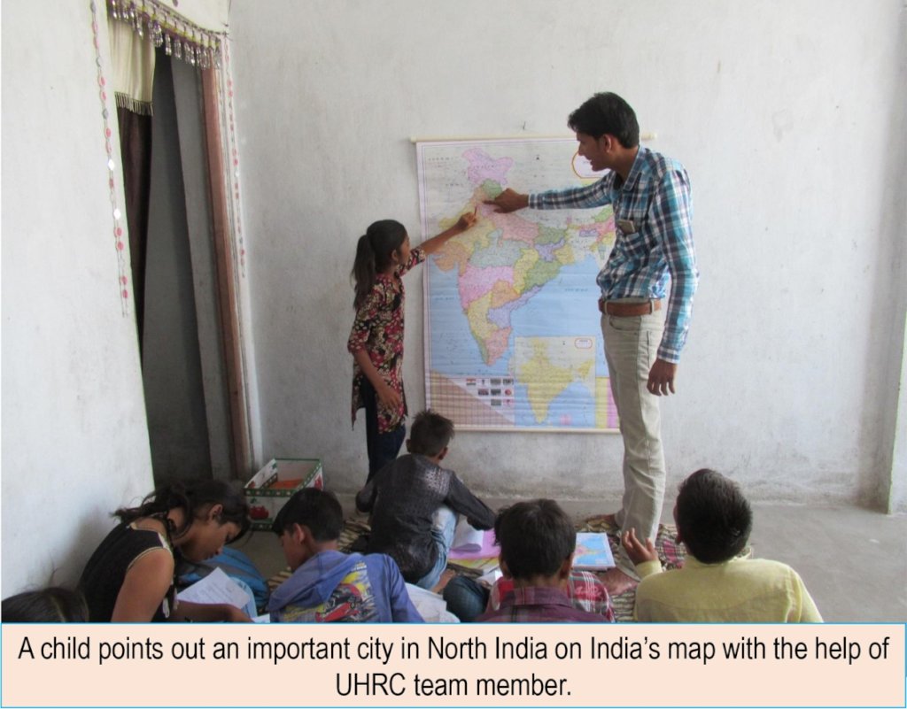
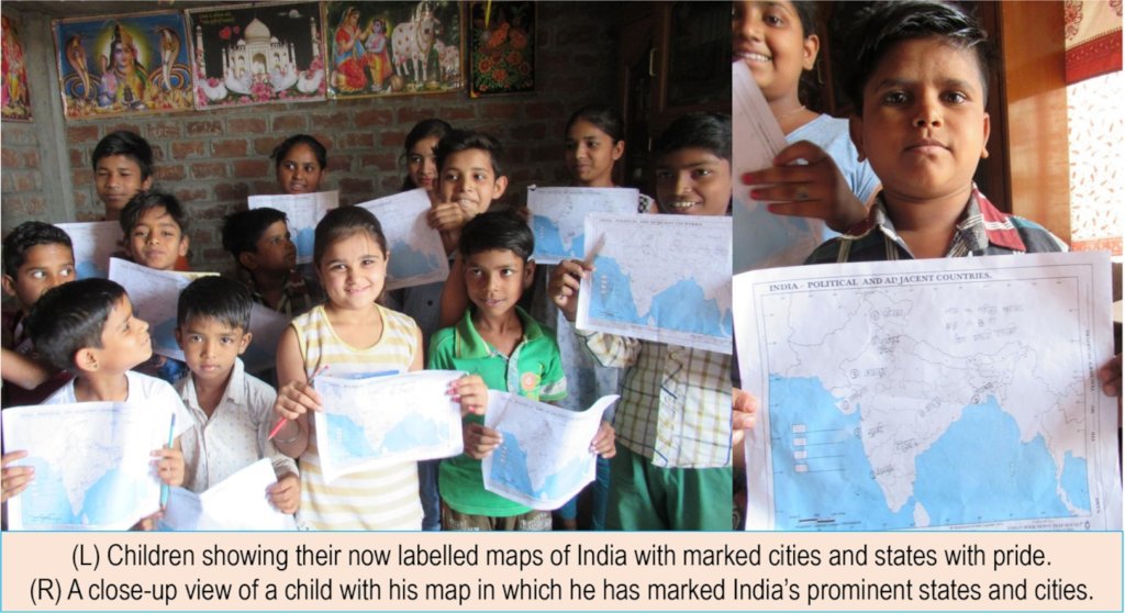
Sessions of geography quiz are conducted in slums. Children are encouraged to understand the concept of directions i.e. North, South, East and West on the map. Children use a large map of India to identify major states and capitals along with the direction along and understand their location. Children are then given small unlabelled maps to identify, mark and write the major landmarks on the map. They subsequently use the large map of India to check and confirm the landmarks they have marked and written on their small maps.
Such sessions are useful to complement children’s understanding of Geography which is limited owing to maps not being used in schools.
By Kanupriya Kothiwal | Research Intern
By Kanupriya Kothiwal | Research Intern
Project reports on GlobalGiving are posted directly to globalgiving.org by Project Leaders as they are completed, generally every 3-4 months. To protect the integrity of these documents, GlobalGiving does not alter them; therefore you may find some language or formatting issues.
If you donate to this project or have donated to this project, you can receive an email when this project posts a report. You can also subscribe for reports without donating.