By Steve Shurter | Director of Conservation
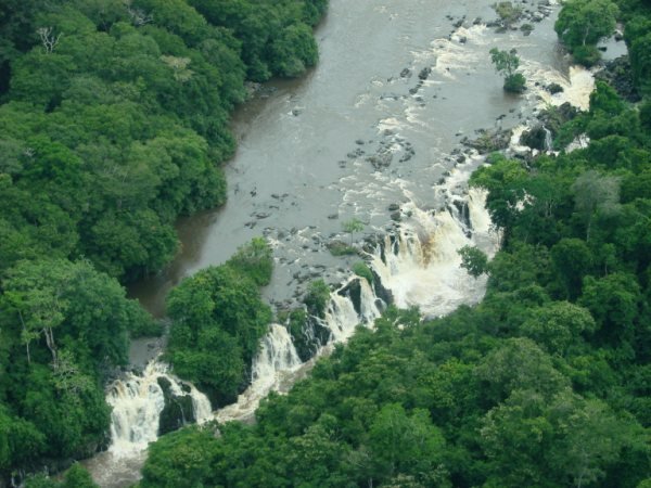
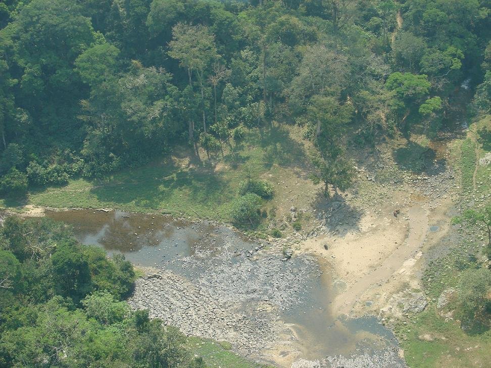
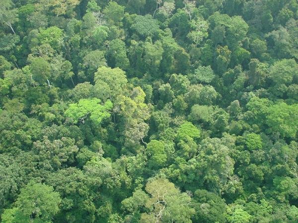
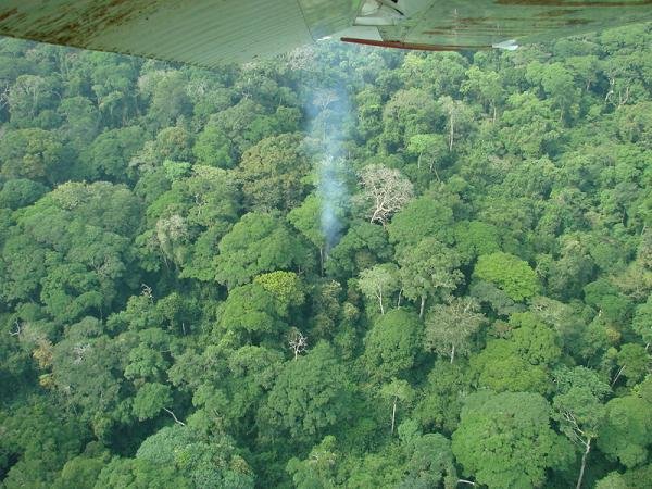
How do you monitor the health of a rainforest? One of our methods is to conduct regular aerial surveys. Unlike the savannahs in Africa, where you can fly over and actually count elephants and other wildlife from the air, this level of detail is impossible in the dense forests. Yet aerial surveys are still important and can reveal a lot. The indicators include poaching camps, mining camps, and areas where agricultural encroachment into the Okapi Wildlife Reserve is increasing.
To conduct the aerial surveys we work with partners at MAF who maintain excellent small planes with very skilled bush pilots. Flight transects are performed over a 3-5 day period (depending on weather) in different sectors of the vast Okapi Wildlife Reserve (13,760 km2). Observers in the plane look for any evidence of illegal activities and of course enjoy the incredible diversity of tree and plant life in the landscape of the Ituri Forest.
Details from the surveys are provided to the rangers of the Okapi Wildlife Reserve who then deploy to the areas of illegal activities in the forest to detain the perpetrators. This process has worked very well in the past to stop illegal poaching and mining activities inside the Reserve. The aerial presence also helps deter poachers and miners who realize their activities will be seen from the air. The surveys are another important tool in our work to conserve the forest and protect the okapi, elephants and other wildlife.
Project reports on GlobalGiving are posted directly to globalgiving.org by Project Leaders as they are completed, generally every 3-4 months. To protect the integrity of these documents, GlobalGiving does not alter them; therefore you may find some language or formatting issues.
If you donate to this project or have donated to this project, you can receive an email when this project posts a report. You can also subscribe for reports without donating.